



We are a vast country consisting of two peninsulas, Thrace and Anatolia, located on the European and Asian continents respectively, possessing a relatively large inland sea. Our population is approaching 90 million. In fact, one-third of the country's population lives on the shores of this inland sea called the Marmara. In our country, which we define geographically in this way and which has a total coastline of 8592 km across three outer seas and one inland sea (almost the distance between Istanbul and Tokyo as the crow flies), there is no maritime culture established among the general public, contrary to our geography. So much so that we can turn our country's maritime territory, known in literature as the Blue Homeland (Mavi Vatan), into a snack for domestic politics. However, the Blue Homeland, which is based on international treaties and doctrines and represents the maritime areas belonging to our country, refers to a sea area that is approximately one-quarter the size of our mainland—meaning we are talking about an area that is both very vast and of high economic, strategic, and geopolitical importance.
To summarize the issue legally; with the Treaty of Lausanne, territorial waters in the Sea of Islands, or the Aegean Sea as it is commonly known, were set at three miles, and Lausanne is the only treaty signed by the two countries on the subject. According to Lausanne, 72% of the Sea of Islands should have remained as high seas, but after Greece unilaterally increased this to six miles in 1936, Turkey also increased it to six miles with a law passed in 1964, and in this state, the high seas area in the Sea of Islands has fallen to 48% today. If Greek theses are accepted and territorial waters are accepted as 12 miles, the high seas area drops to 9%, and the Sea of Islands turns into a Greek inland sea.
So, what are these theses? Greece wants its maritime area to be accepted as the boundary of the sea area by connecting the outermost islands (those furthest from the center), as applied to archipelagic states like the Philippines, Japan, and Indonesia. According to the famous map prepared by the University of Seville based on the Greek thesis, Turkey is imprisoned in the Gulf of Antalya because of the Greek island of Meis (Kastellorizo). The Aegean turns into a Greek sea, and Turkey and the TRNC are completely excluded from the Mediterranean. Although the European Union does not officially recognize the Seville Map, this map is used in all official business and transactions and by institutions affiliated with it. Despite all this, in maritime jurisdiction disputes brought before the International Court of Justice (Romania/Ukraine, Nicaragua/Colombia applications), it is held that islands have jurisdiction limited only to their own territorial waters and that the mainland has priority in maritime jurisdiction. In fact, the Greek Thesis is so inconsistent that if it were applied to British islands located off the French coast in the English Channel (like the island of Meis located off the coast of Kaş in the Greek thesis), the English Channel would turn into a British inland sea, and France would have no exclusive economic zone left.
In this context, it is indisputable that the doctrine defined as the Blue Homeland is in accordance with international law, precedent doctrines, and the principle of equity. Likewise, with the registration of the Agreement on the Delimitation of Maritime Jurisdiction Areas signed with Libya by the United Nations in 2020 based on the Blue Homeland map, the Blue Homeland gained international legitimacy. On the other hand, it is clear that everyone except us is claiming more than their fair share in the Seville Map, which is pictured below. In short, we can see the Blue Sèvres of today as the Seville Map, and its Blue Lausanne as the Blue Homeland Doctrine. Likewise, considering Greece's persistent demands despite the fact that the issue was resolved between the two states 100 years ago with Lausanne, either the Blue Homeland will be accepted or the Aegean will turn entirely into a Greek inland sea.
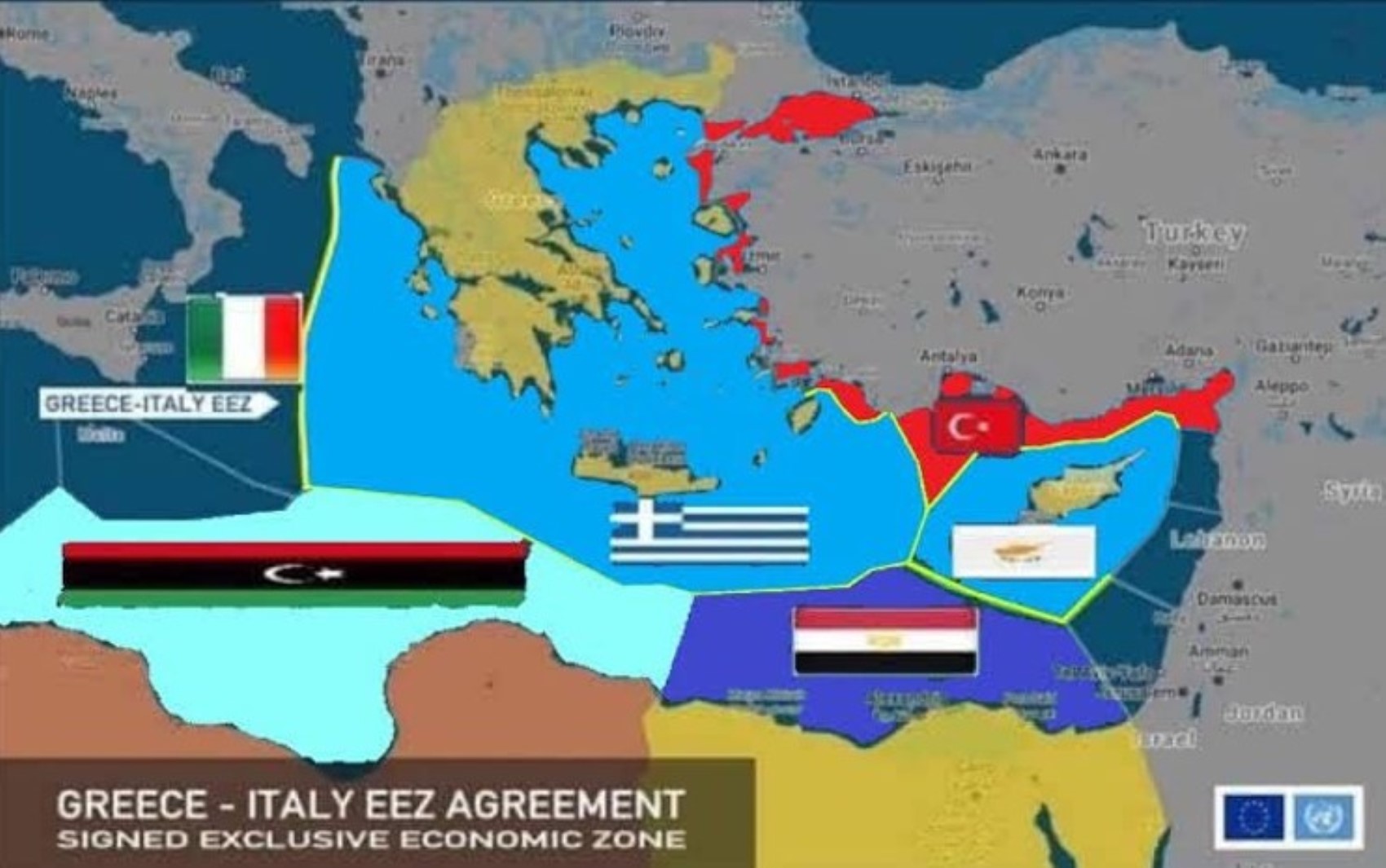
Today, 30% of oil and more than half of natural gas are obtained from the seas. It is a known fact that there is a significant amount of natural gas and other underground resources in the Eastern Mediterranean. Leaving aside the natural gas and similar energy resources that may be found within the Blue Homeland, even the total annual value of the fish we share with Greek, Italian, Egyptian, and other neighboring country fishermen in the Aegean and Mediterranean—because we have not declared an exclusive economic zone—is in the order of billions of euros. Therefore, the Blue Homeland is one of the ways to get rid of the tax burden we are crushed under, to increase all kinds of public services such as education, health, and others in terms of quality and quantity, and to have a better quality of life. Considering the current debt burden of the public and private sectors, it is not rational to expect the state to take its hand out of the citizen's pocket without providing a new source of income. However, unfortunately, our drilling and seismic vessel fleet has not been able to go outside the borders of the Blue Sèvres, i.e., the Seville Map, since 22.12.2020, with one small exception, and the maritime areas over which we have sovereign rights have been left ownerless. Undoubtedly, the economic bottleneck our country has fallen into has a huge share in the making of this decision and the silence we have experienced for the last four years. It is unknown whether history will one day judge those who play politics at the expense of the homeland, but it falls to us to bear the burden of politics played at the expense of the homeland and to defend our economic rights against the Blue Sèvres.
Most Read
Striking picture for Özgür Özel's 'New Party'
Özgür Özel gives a dated response regarding the number of resignations
The PKK opening and Özgür Özel’s path!..
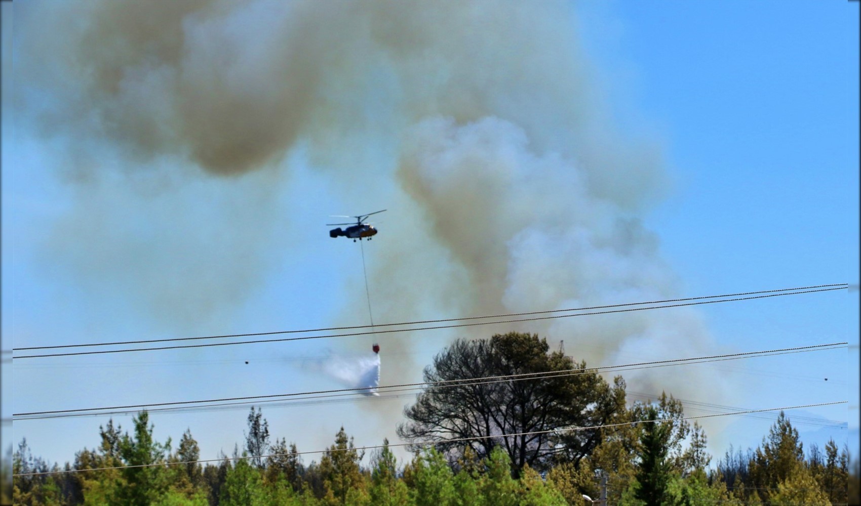
Forest fire in Antalya brought under control
How did the newspapers view Özgür Özel's farewell to the CHP?

He killed his wife by slitting her throat: Their children witnessed the moments

What did the CHP do?
Özel’s new party move in the world press

The New CHP, against CEHAPE
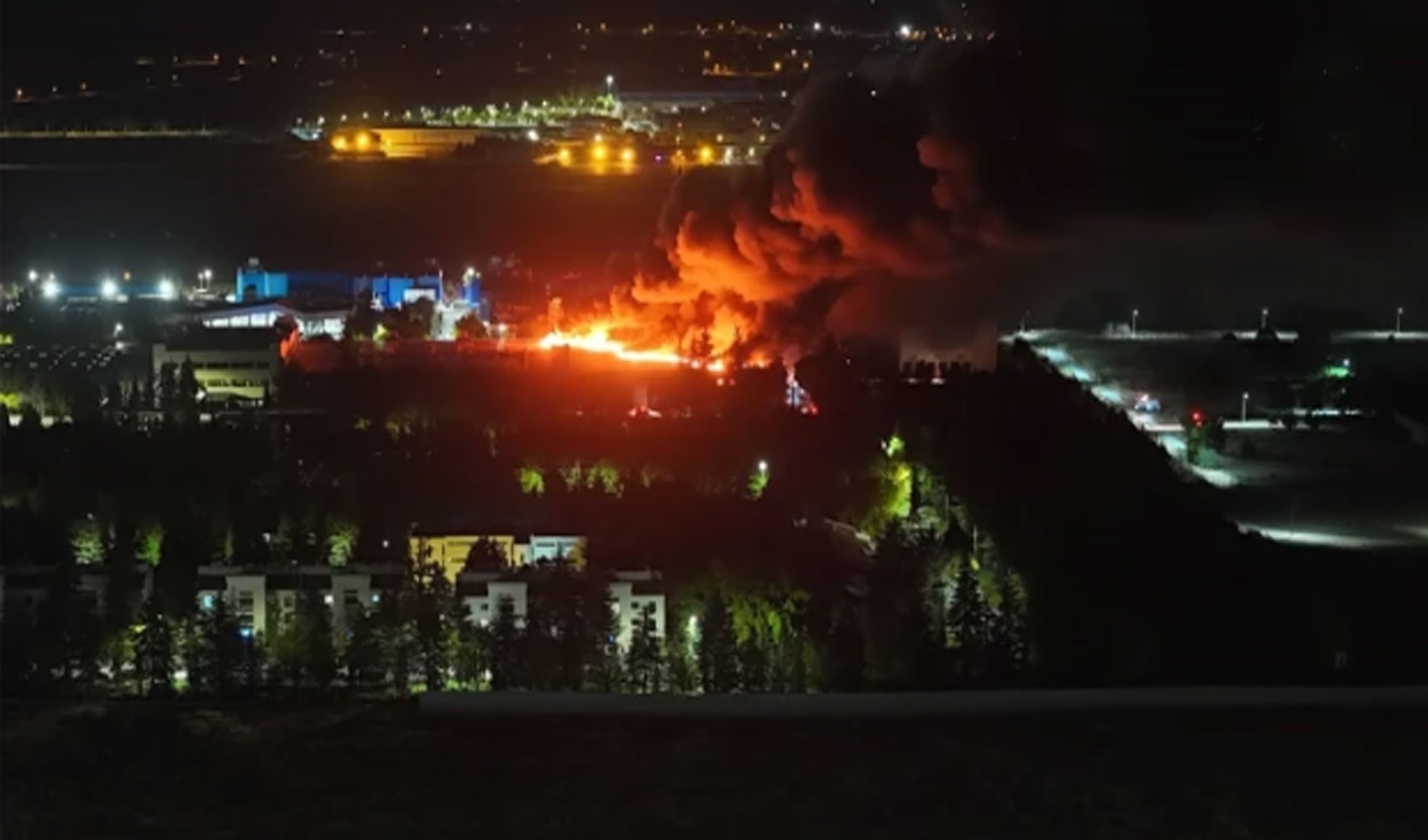
Fire at TUSAŞ engine factory in Eskişehir under control