

Meteorology issues hourly warning: Take precautions against roof damage and avalanche risk! What will the weather be like on Saturday, December 14?
The General Directorate of Meteorology has released the weather report for December 14. While heavy snowfall, downpours, storms, and avalanche risks continue in the north and east of the country, warnings have been issued for icing and frost in the interior regions. Disruptions in transportation and risks of roof damage may occur due to snowfall and strong winds. What will the weather be like on Saturday, December 14? Here is the weather forecast by province...



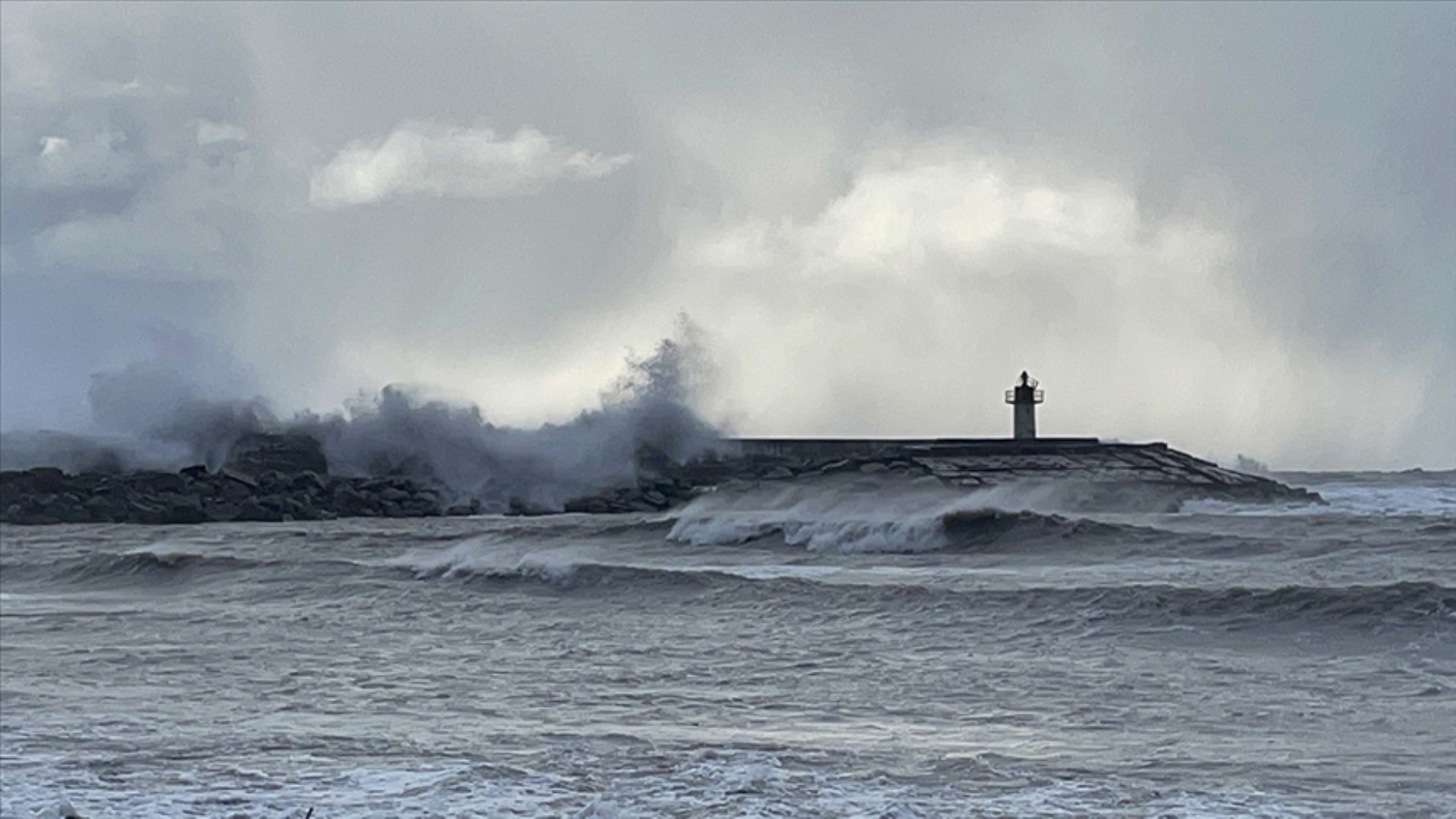
Meteorology has released the weather report for December 14.
Meteorology has issued warnings for rain showers, storms, and heavy snowfall for many cities. The General Directorate of Meteorology has warned citizens about strong precipitation expected to be effective in the northern and eastern regions of our country.
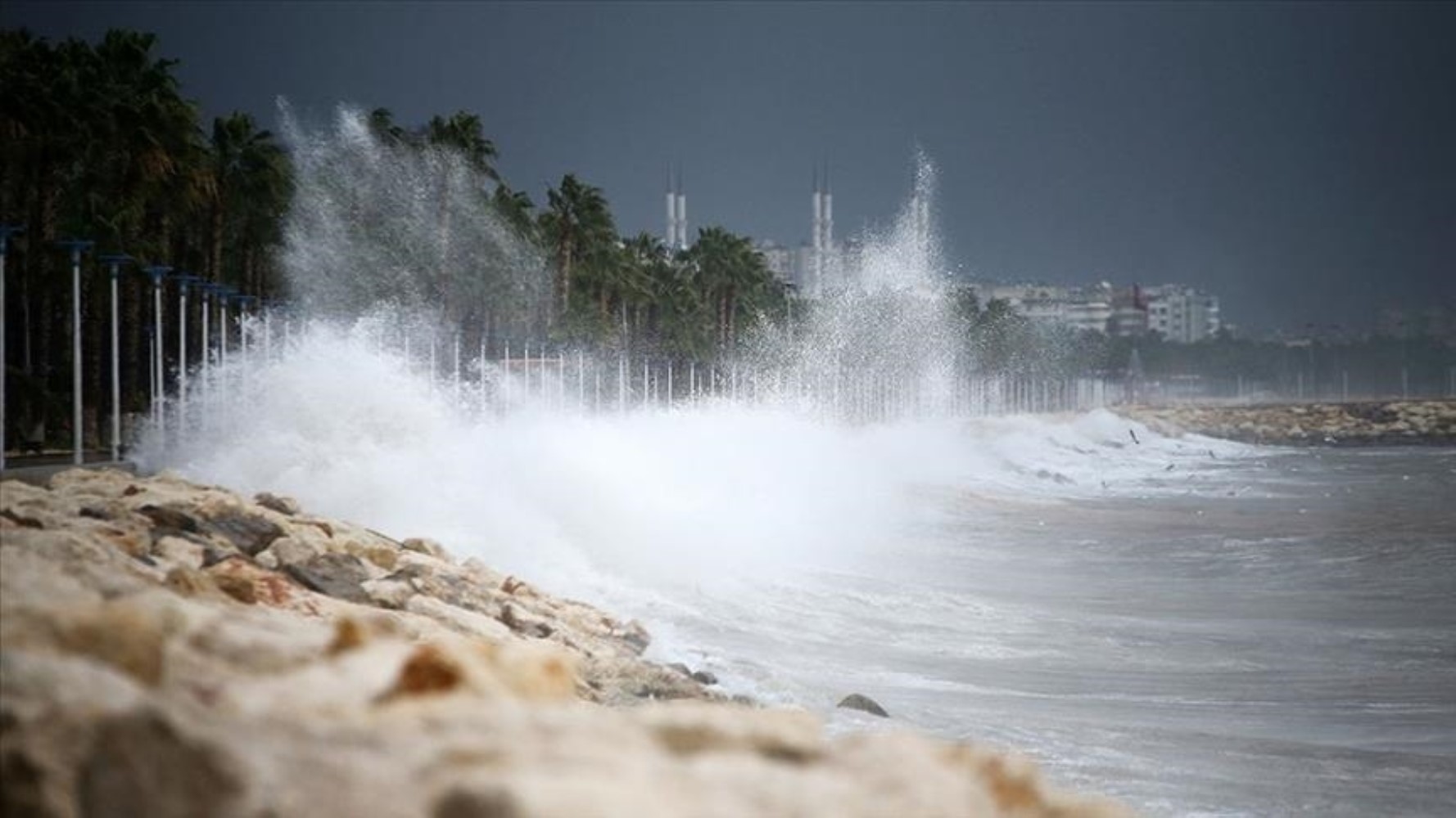
Rain showers and mixed rain and snow are expected in the coastal areas of the Central Black Sea, the Eastern Black Sea, the surroundings of Kars and Ardahan, and the northern districts of Erzurum.
The western part of Marmara will come under the influence of rainy weather starting from the night hours.
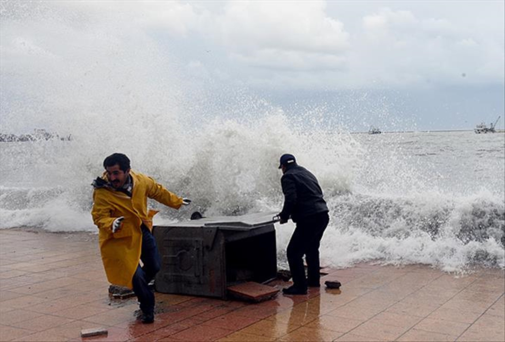
HEAVY SNOWFALL ALARM
Rain showers and mixed rain and snow are expected in the coastal areas of the Central Black Sea, the Eastern Black Sea, the surroundings of Kars and Ardahan, and the northern districts of Erzurum. The western part of Marmara will come under the influence of rainy weather starting from the night hours.
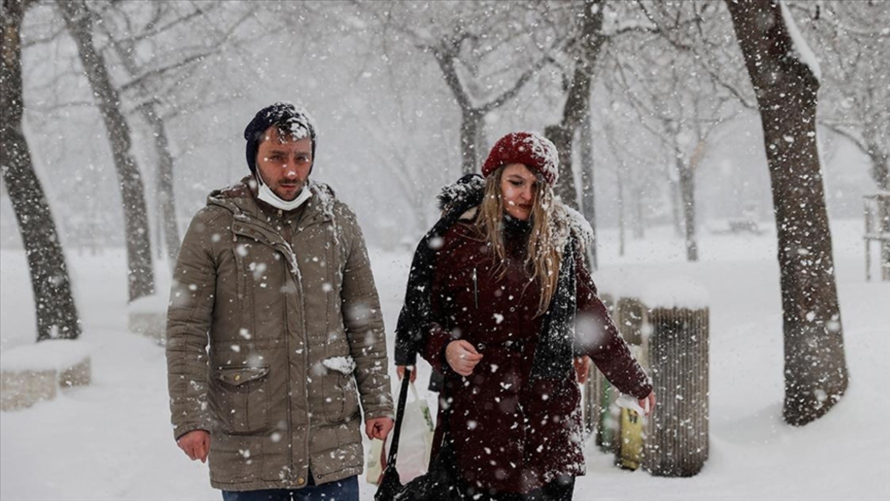
WHICH PROVINCES WILL EXPERIENCE STORMS?
Meteorology reported that the wind is expected to blow strongly (40-60 km/h) from northern directions and occasionally as short-term storms (70-80 km/h), especially in Eastern Anatolia, the inland parts of the Eastern Black Sea, and the Taurus Mountains region of the Mediterranean. It was warned that dangers such as roof damage and snow drifting could occur due to the wind.
The avalanche danger continues on the steep and sloping hillsides in the inland parts of the Eastern Black Sea and the east of Eastern Anatolia. It was stated that residents of the region should be careful in areas where snowfall is heavy.
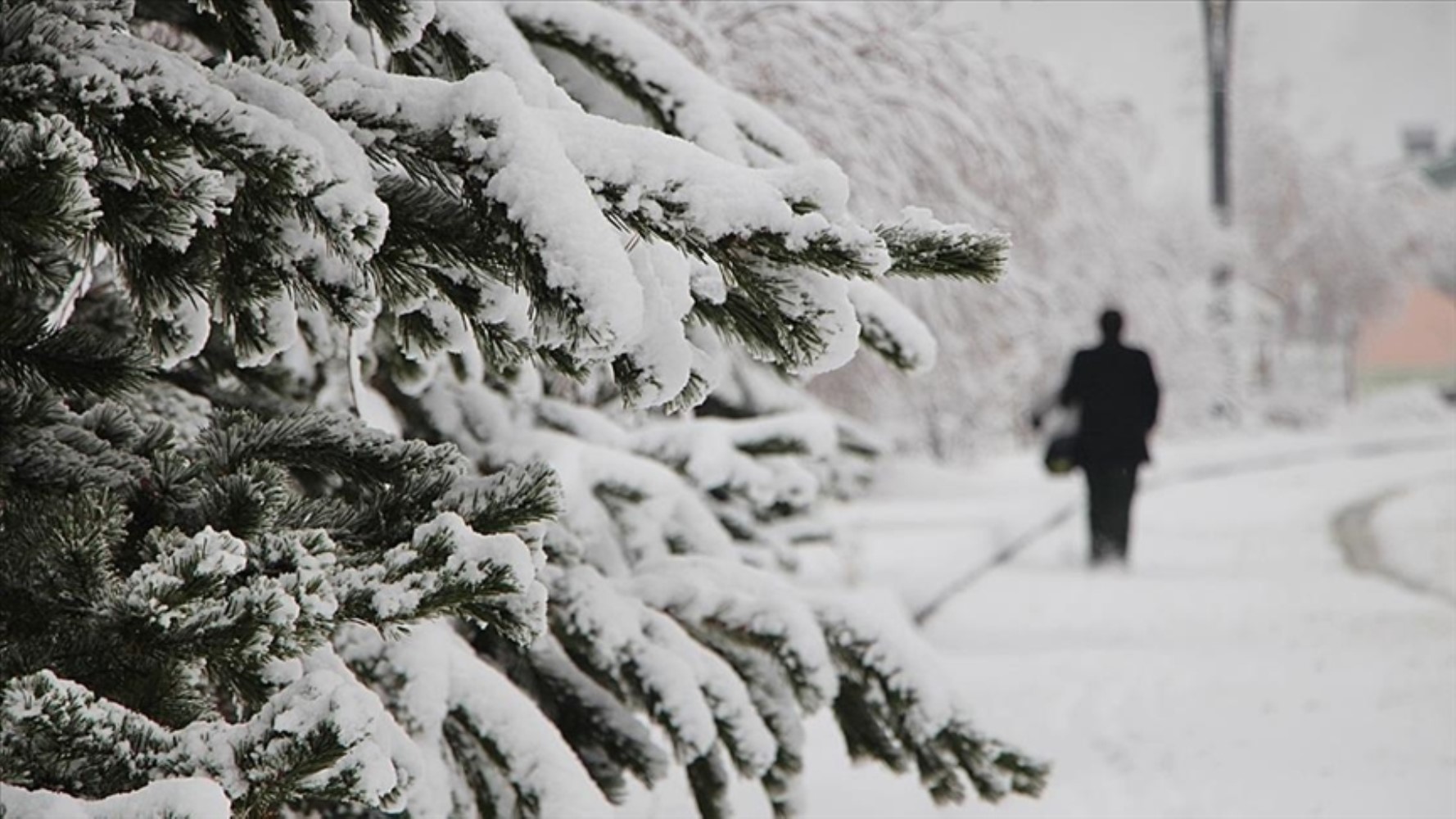
Icing and frost events are expected in the inland and eastern regions of our country as air temperatures drop. Additionally, localized fog formation may reduce visibility in transportation. This situation may pose a risk for drivers.
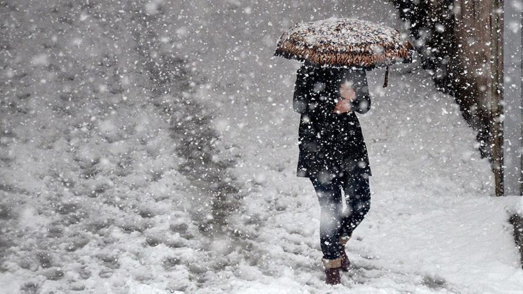
WHAT WILL THE AIR TEMPERATURES BE ON SATURDAY, DECEMBER 14?
According to meteorological data, air temperatures are estimated to be 3 to 5 degrees below seasonal norms in the eastern regions, while they are not expected to change in other regions.
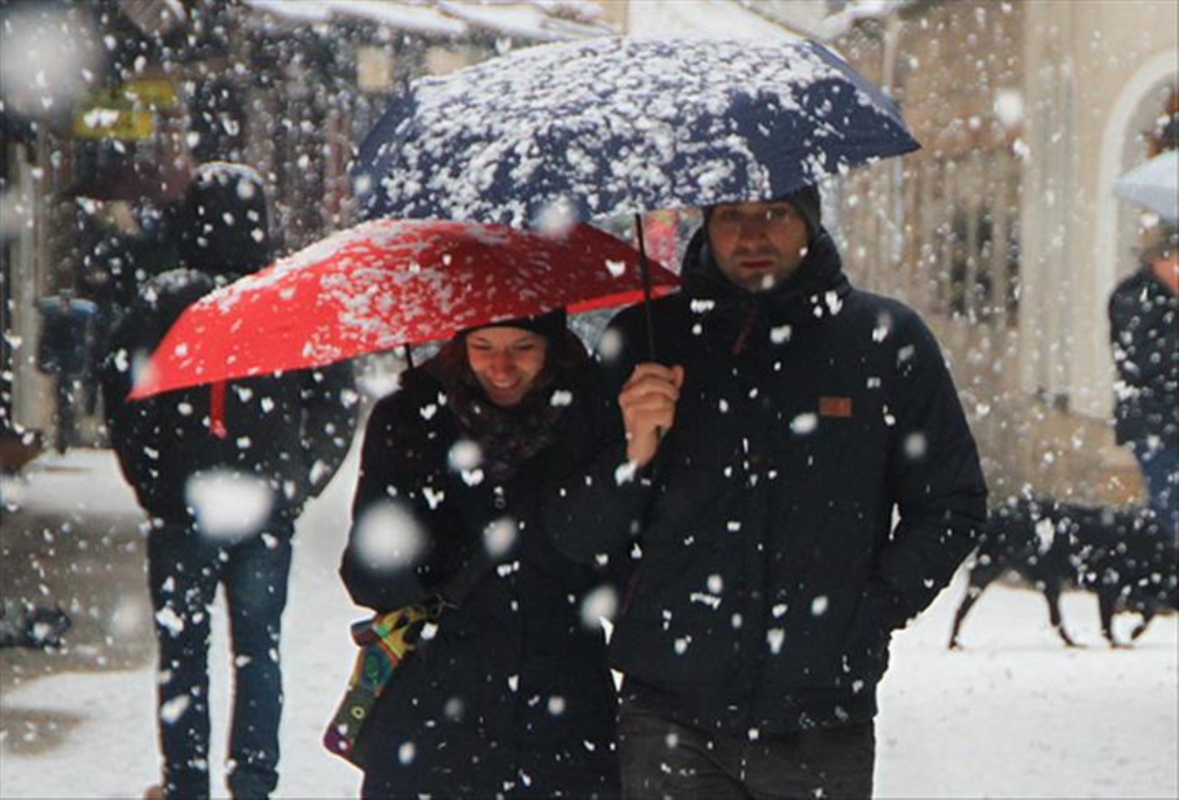
STRONG PRECIPITATION WARNING
Strong precipitation is expected in Rize, Artvin, and the east of Trabzon, with heavy snowfall in higher elevations. Precautions should be taken against the risk of floods and flash floods.
STORM ALARM
Caution should be exercised against dangers such as transportation disruptions and roof damage in regions where the wind is effective.
AVALANCHE AND ICING WARNING
Residents of the region have been asked to be cautious against the risk of avalanches in the higher elevations of the Eastern Black Sea and Eastern Anatolia.
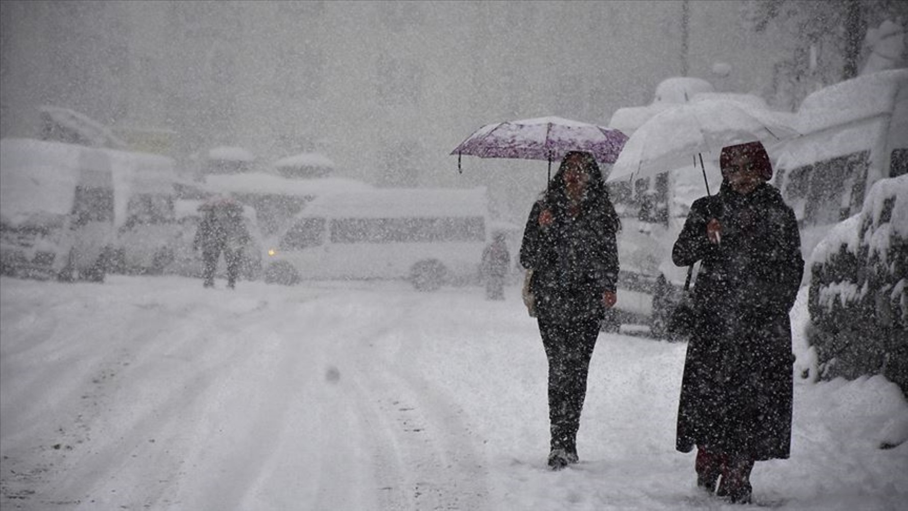
HERE IS THE WEATHER FORECAST FOR SATURDAY, DECEMBER 14, 2024, BY PROVINCE...
MARMARA
It is estimated to be partly to very cloudy, with rain expected in the west after night hours.
ÇANAKKALE °C, 10°C
Partly to very cloudy, rainy after night hours
EDİRNE °C, 8°C
Partly to very cloudy, rainy after night hours
İSTANBUL °C, 9°C
Partly to very cloudy, rainy after night hours
KIRKLARELİ °C, 6°C
Partly to very cloudy, rainy after night hours
AEGEAN
It is estimated to be partly to mostly clear, with the eastern parts being locally very cloudy. Haze and localized fog are expected in the inland areas during the morning and night hours.
A.KARAHİSAR °C, 3°C
Partly, locally very cloudy
DENİZLİ °C, 12°C
Partly to mostly clear
İZMİR °C, 14°C
Partly to mostly clear
MANİSA °C, 11°C
Partly to mostly clear
MEDITERRANEAN
It is estimated to be partly to mostly clear, with inland areas being locally very cloudy. Haze and localized fog are expected in the inland parts of the region during the morning and night hours. The wind is expected to blow strongly (40-60 km/h) from northern directions in the Taurus Mountains area this evening.
ADANA °C, 16°C
Partly to mostly clear
ANTALYA °C, 18°C
Partly to mostly clear
HATAY °C, 15°C
Partly to mostly clear
MERSİN °C, 15°C
Partly to mostly clear
CENTRAL ANATOLIA
It is estimated to be partly to very cloudy. Haze and localized fog are expected along with icing and frost during the morning and night hours.
ANKARA °C, 4°C
Partly to very cloudy
ESKİŞEHİR °C, 5°C
Partly to very cloudy
KONYA °C, 3°C
Partly to very cloudy
SİVAS °C, -1°C
Partly to very cloudy
WESTERN BLACK SEA
It is estimated to be partly cloudy. Haze and localized fog are expected along with icing and frost in the inland parts of the region during the morning and night hours.
BOLU °C, 3°C
Partly to very cloudy
DÜZCE °C, 8°C
Partly to very cloudy
KASTAMONU °C, 2°C
Partly to very cloudy
ZONGULDAK °C, 7°C
Partly to very cloudy
CENTRAL and EASTERN BLACK SEA
It is estimated to be very cloudy, with rain on the coasts and mixed rain and snow in the inland areas. Precipitation is expected to be locally strong in the surroundings of Rize and Artvin and the east of Trabzon this morning. Haze and localized fog are expected along with icing and frost in the inland areas during the morning and night hours. There is an avalanche danger in the higher elevations of the inland parts of the Eastern Black Sea. The wind is expected to blow strongly (40-60 km/h) from northern directions.
ARTVİN °C, 0°C
Very cloudy, intermittent rain, with mixed rain and snow in the higher inland areas. Precipitation is expected to be strong this morning.
SAMSUN °C, 8°C
Very cloudy, rainy in the east this morning
TOKAT °C, 1°C
Very cloudy
TRABZON °C, 6°C
Very cloudy, rainy, with mixed rain and snow in the higher inland areas. Precipitation is expected to be locally strong this morning.
EASTERN ANATOLIA
It is estimated to be partly to very cloudy, with snowfall in the surroundings of Ardahan, Kars, and the northern parts of Erzurum. Haze and fog are expected throughout the region along with icing and frost. There is an avalanche danger in the higher elevations of the east of the region. The wind is expected to blow strongly (40-60 km/h) from northern directions in the north and west of the region.
ERZURUM °C, -10°C
Very cloudy, snowfall in the north this morning
KARS °C, -10°C
Very cloudy, snowfall this morning
MALATYA °C, 3°C
Partly to very cloudy
VAN °C, -3°C
Partly to very cloudy
SOUTHEASTERN ANATOLIA
It is estimated to be partly to locally very cloudy. Localized haze is expected throughout the region during the morning and night hours. The wind is expected to blow strongly (40-60 km/h) from northern directions in the east of the region.
DİYARBAKIR °C, 5°C
Partly to very cloudy
GAZİANTEP °C, 9°C
Partly to very cloudy
SİİRT °C, 3°C
Partly to very cloudy
ŞANLIURFA °C, 8°C
Partly to very cloudy
News Source : 12punto
Most Read
Striking picture for Özgür Özel's 'New Party'

The PKK opening and Özgür Özel’s path!..
How did the newspapers view Özgür Özel's farewell to the CHP?

He killed his wife by slitting her throat: Their children witnessed the moments

What did the CHP do?
Özel’s new party move in the world press

The New CHP, against CEHAPE
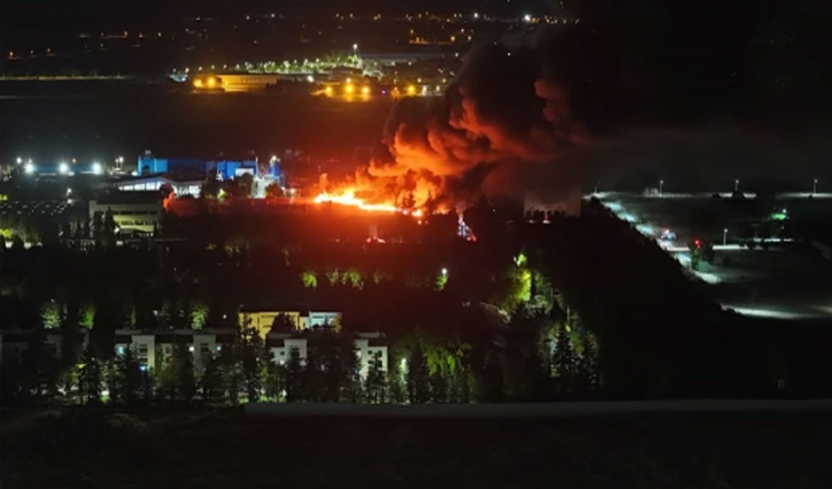
Fire at TUSAŞ engine factory in Eskişehir under control

From self-efficacy to despair

Kılıçdaroğlu's first message on Özgür Özel's new party announcement