

Where is Iceland on the map?
Following the Turkish National Team's match against Iceland in the Nations League, Iceland has become one of the most searched topics. So, which continent is Iceland on, and where is it located on the map?



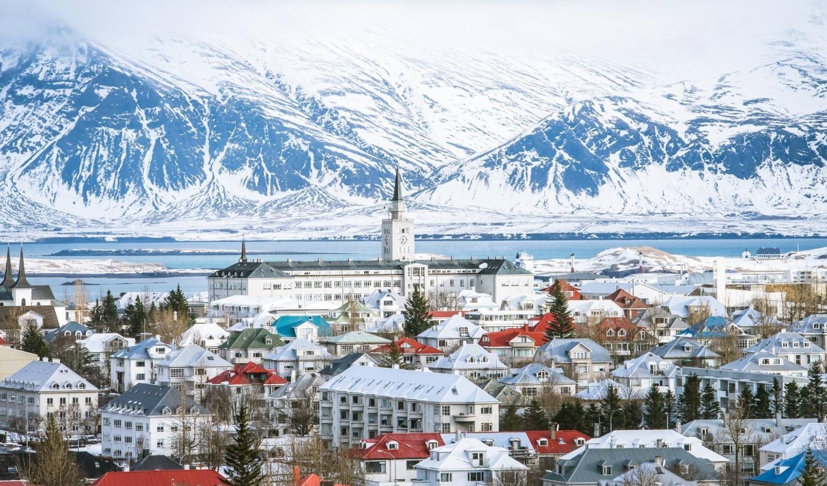
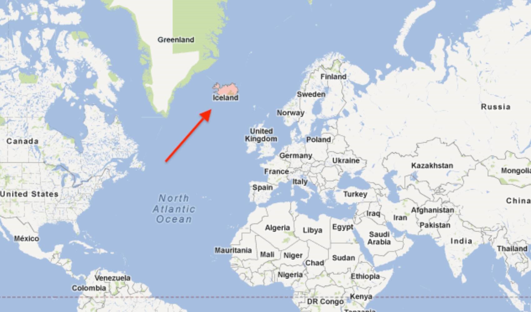
Iceland is an island nation located in the middle of the North Atlantic Ocean, between Greenland and Norway. It is situated in the northwest of Europe and lies just below the Arctic Circle. Iceland is located close to Western Europe and North America.
The closest neighbor to Iceland, which is a volcanic island, is Greenland, located 350 kilometers away. It is 800 kilometers from the UK and 1050 kilometers from Norway.
Geographically, the country's capital, Reykjavik, is located on the southwest coast of the island. Since Iceland is a volcanically and geothermally active country, it is famous for its natural beauty and hot springs.
Iceland is among the countries that do not have an army. In fact, it is the only NATO member without a standing army.
What is the population of Iceland?
As of 2024, the population of Iceland is approximately 390,000. Iceland is a low-population country and is quite sparsely settled relative to its surface area. A large portion of the population is concentrated in and around the capital, Reykjavik. In other parts of the country, the population is quite small, and vast natural areas dominate.
News Source: 12punto
Most Read
Striking picture for Özgür Özel's 'New Party'
Özgür Özel gives a dated response regarding the number of resignations
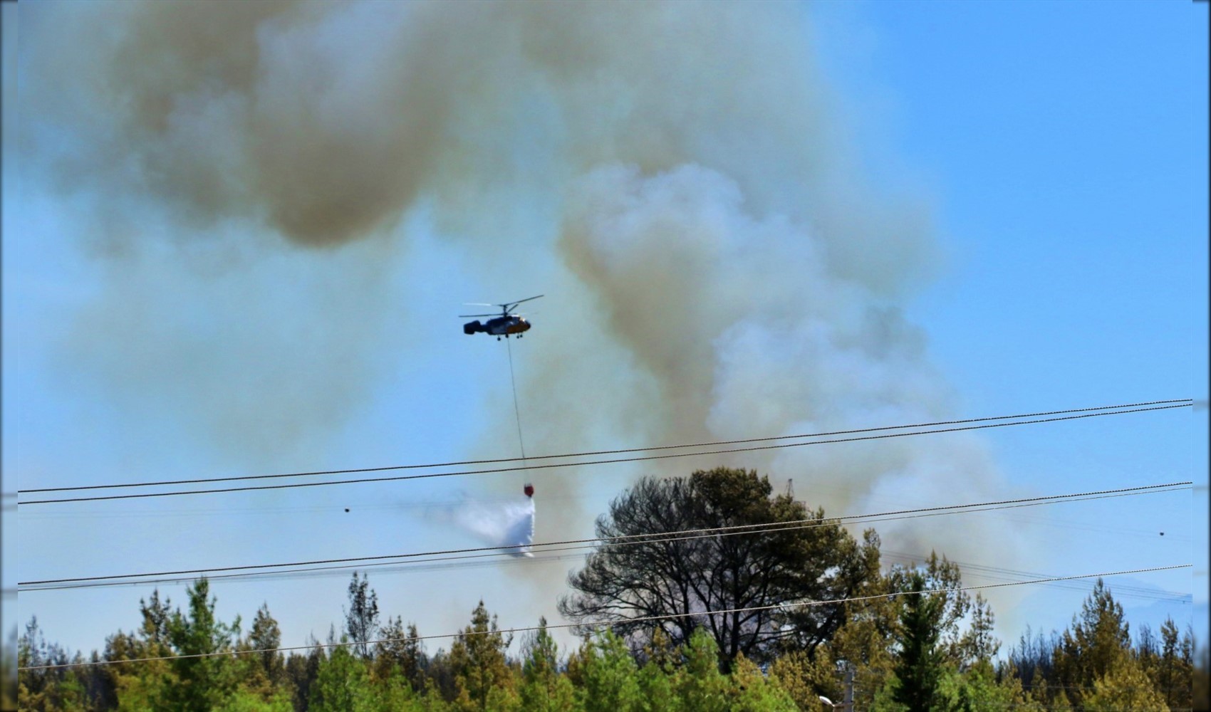
Forest fire in Antalya brought under control
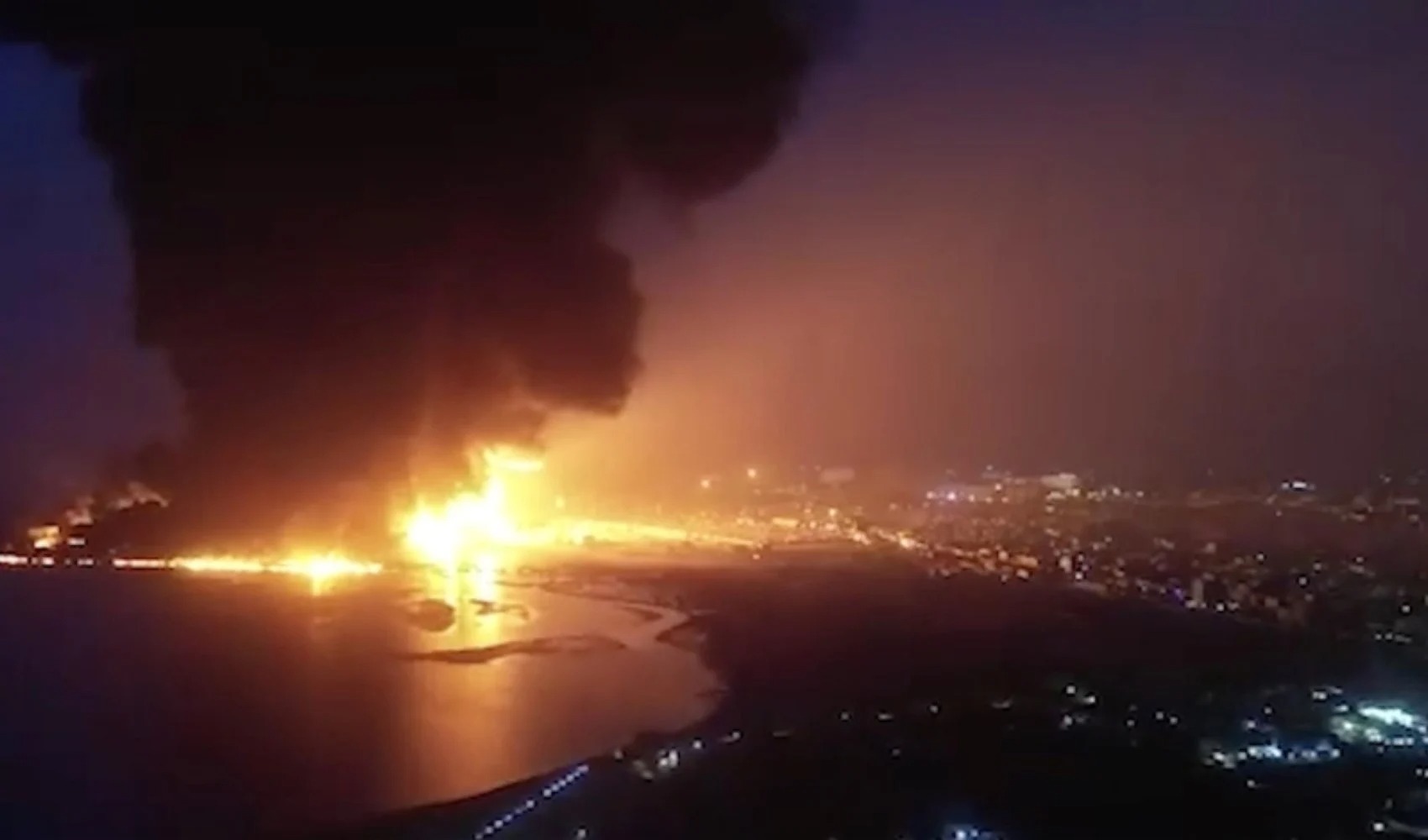
Houthis strike Saudi-owned tanker
4 drones shot down near US Consulate General in Erbil

Özel’s new party move in the world press

The new rule of the field: Attrition

Famous director Ezel Akay and his brother have been detained

Zeydan Karalar's decision on the New Party
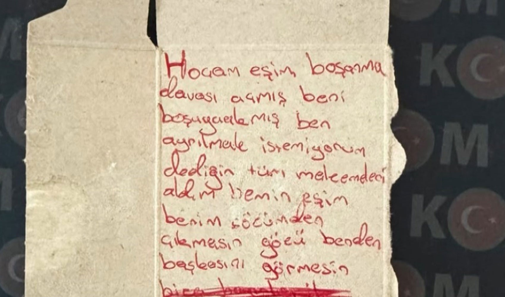
'Papers with spells and curses' operation: 'Master, my spouse filed for divorce'