

MGM weather forecaster explains with specific days and regions
Cengiz Çelik, a weather forecaster at the General Directorate of Meteorology, stated, "Temperatures will start to rise from the west, and by Wednesday, they will approach seasonal norms in the western and inland regions. By Wednesday and Thursday, temperatures across the country will have reached seasonal norms."



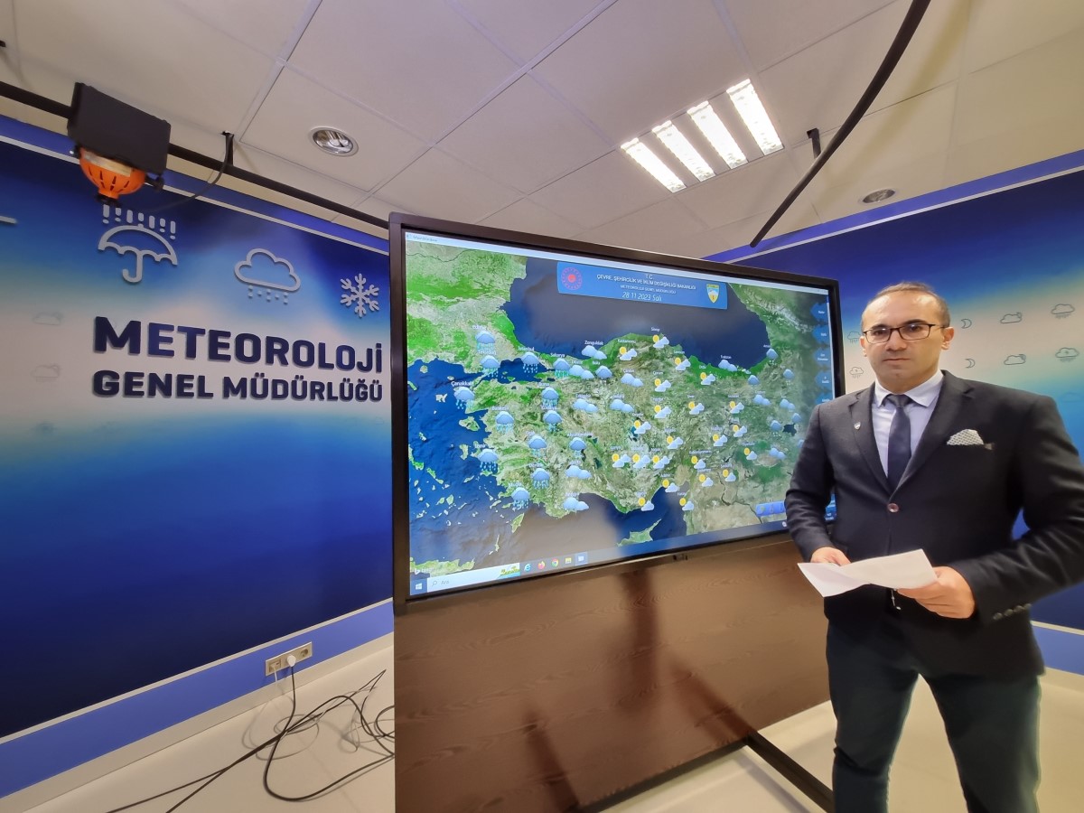
Cengiz Çelik, a weather forecaster at the General Directorate of Meteorology of the Ministry of Environment, Urbanization and Climate Change, stated in his announcement regarding the weather across the country that the cold and rainy system affecting almost all of Turkey is moving towards the northeast and will leave the country starting Tuesday.
"However, starting from Tuesday morning, we will come under the influence of a new warm and rainy system, beginning from the Aegean coast," said Çelik, adding that this system will cause precipitation in the Marmara, Aegean, and Western Mediterranean regions on Tuesday.
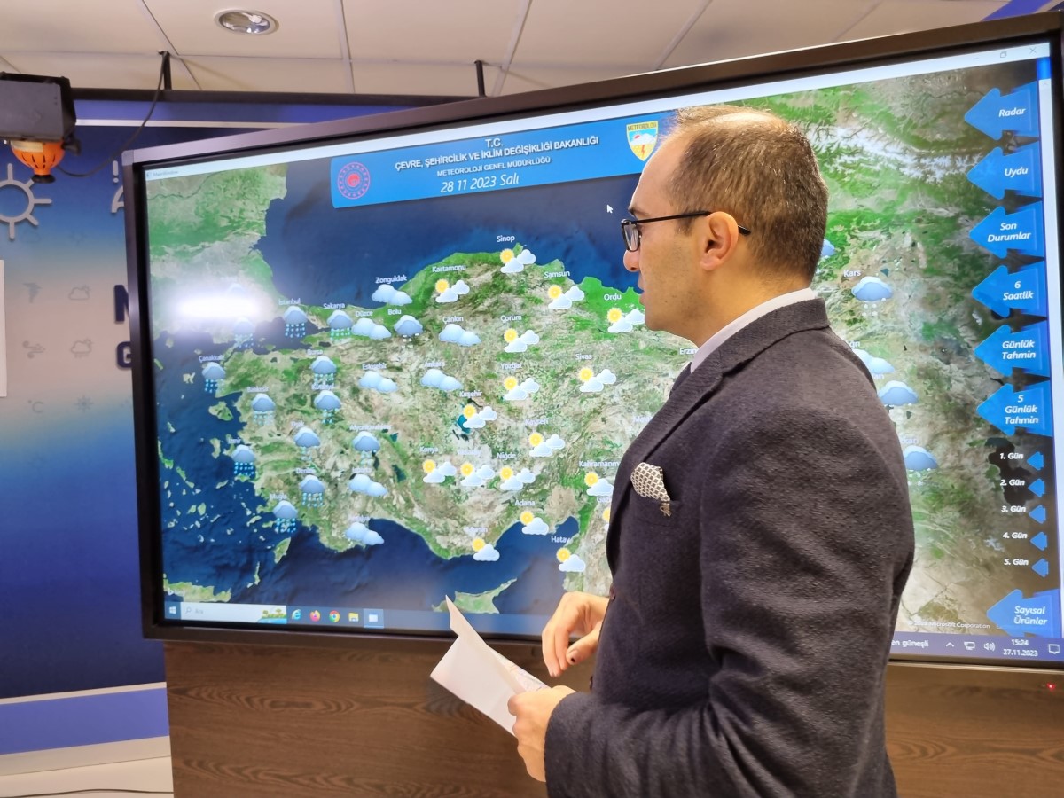
Çelik noted that on Wednesday and Thursday, the system will cause precipitation in the Marmara, Aegean, Western Mediterranean, western parts of Central Anatolia, and the western and Central Black Sea regions, and that the system will be strong at times in the western regions.
Reporting that they expect very heavy rainfall between Çanakkale and Muğla, as well as in the coastal parts of Aydın and Muğla on Tuesday, Çelik said, "For Wednesday, it will leave heavy rainfall in the Marmara, Aegean, Antalya surroundings, and Western Black Sea regions. We can say that the winds have now died down in our western regions, but with this system, we expect winds from the southwest reaching speeds of up to 80 kilometers per hour, starting from Tuesday evening, first across the Marmara and Aegean regions."
TEMPERATURES WILL REACH SEASONAL NORMS
Explaining that they expect storms from the southwest with speeds reaching 80 kilometers per hour in the Marmara, Aegean, and Western Black Sea regions on Wednesday, Çelik continued:
"If we look at the intensity of this storm, the system that affected us over the weekend had reached speeds of over 100 kilometers per hour in some places. It is not as strong as that right now, but it is close. We have an expectation of 80 kilometers per hour winds.
Furthermore, with this system, temperatures will rise rapidly, starting from the west. By Wednesday, temperatures in the western and inland regions will approach seasonal norms. By Wednesday and Thursday, temperatures across the country will have reached seasonal norms. In fact, we expect them to rise a few degrees above seasonal norms in the western and inland regions on Wednesday."
NO PRECIPITATION IN THE EARTHQUAKE ZONE
Weather forecaster Çelik added that the system will not bring precipitation to the regions affected by the Kahramanmaraş-centered earthquakes, stating, "Some cloudiness might be seen, but we do not have any expectation of precipitation in the earthquake zone in the coming week. Temperatures have now risen. We will mostly see 18-20 degrees in the earthquake zone."
RISK OF COASTAL FLOODING IN SOME REGIONS
Emphasizing that they do not expect coastal flooding in the İskenderun district of Hatay or the Western Black Sea, Çelik said, "However, there is such a risk in the Southern Aegean and, for Wednesday, in the surroundings of Antalya. Because we are expecting a lodos (southwesterly) storm again from the southwest. The wind, which will reach speeds of up to 80 kilometers, may carry some seawater to the shore again. It is useful to be careful about this, especially on the coasts of the Southern Aegean, Western Black Sea, and Western Mediterranean," he explained.
TEMPERATURES IN ANKARA AND ISTANBUL WILL REACH UP TO 15 DEGREES
Underlining that they expect precipitation in Istanbul for three days, and that the rainfall that may occur especially on Wednesday could be heavy, Çelik said:
"Temperatures in Istanbul are rising rapidly starting from Tuesday. The temperature, which will rise to 16 degrees on Tuesday, will hover around 15-16 degrees until the weekend. In Ankara, temperatures are currently below seasonal norms. The highest temperature is 4-5 degrees. We expect 6 degrees for Tuesday. We have a temperature forecast of 12 degrees for Wednesday, and 14-15 degrees for the 3-4 days following Thursday."
"IT WILL BE RAINY AND WINDY"
Making assessments regarding holiday regions as well, Çelik pointed out that heavy rainfall will be seen in this system, especially in the western and southern regions, including the Western Mediterranean, and said, "Therefore, we expect rainfall, which will be heavy at times, in our western and southern coasts for the next 3-4 days. With the effect of the strong lodos storm, we can say that the meteorological situation in our southern coasts will be a bit more rainy and windy."
News Source : İHA
Most Read
Striking picture for Özgür Özel's 'New Party'

The PKK opening and Özgür Özel’s path!..
How did the newspapers view Özgür Özel's farewell to the CHP?

He killed his wife by slitting her throat: Their children witnessed the moments

What did the CHP do?

Özel’s new party move in the world press
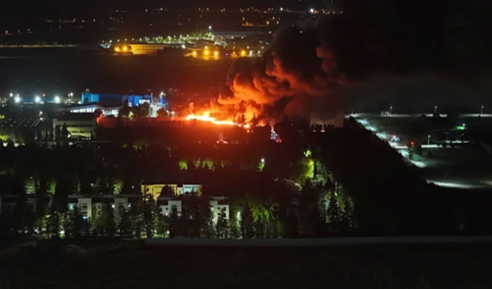
Fire at TUSAŞ engine factory in Eskişehir under control

The New CHP, against CEHAPE

From self-efficacy to despair

Kılıçdaroğlu's first message on Özgür Özel's new party announcement