In which district was the Marmara earthquake felt at what intensity?
The 6.2-magnitude earthquake that occurred off the coast of Silivri was felt at different intensities across Istanbul's districts, and the earthquake map revealed the affected regions in detail. In which district was the earthquake felt at what intensity? Here are the details...
12punto
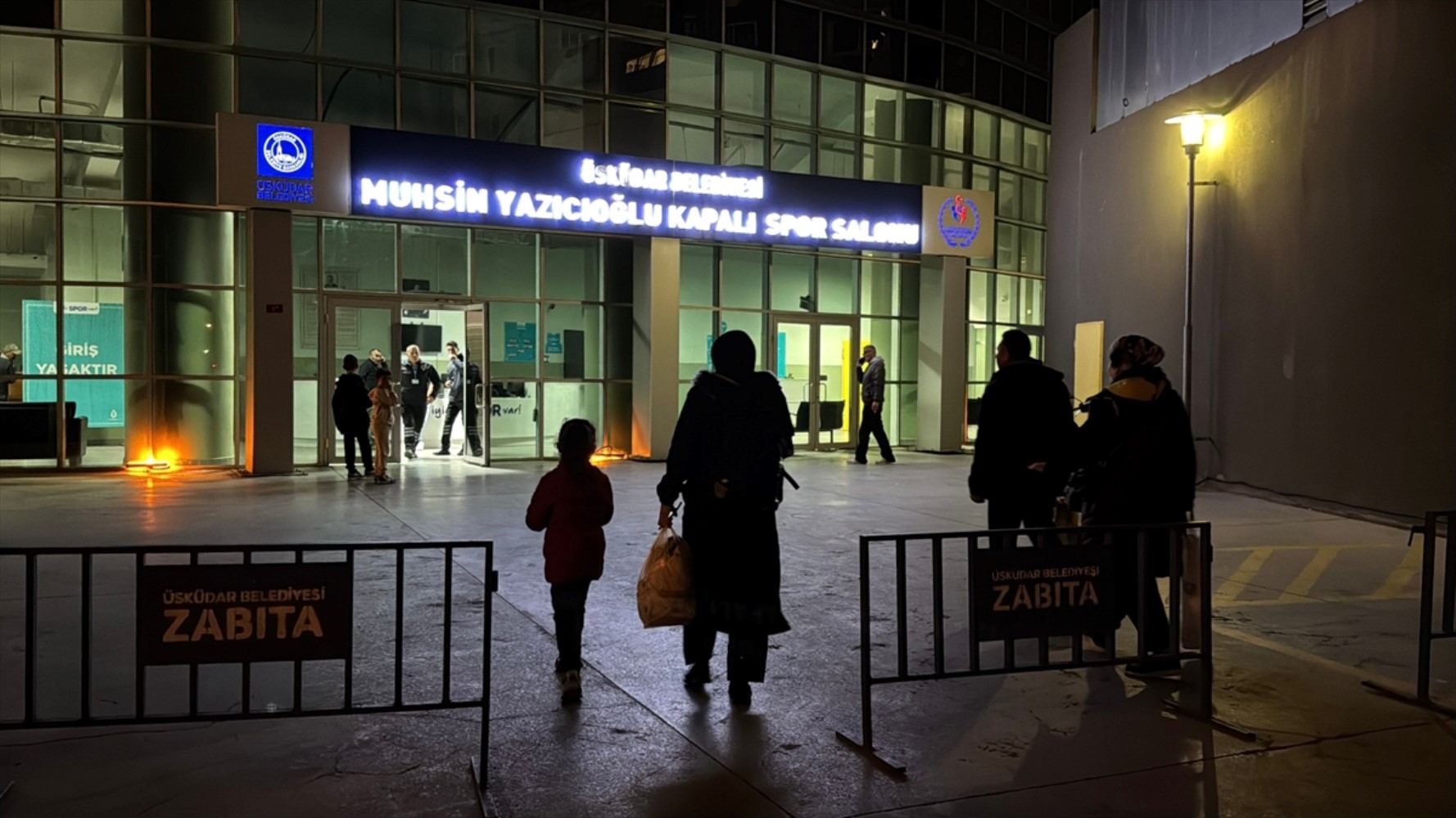
According to data from the United States Geological Survey (USGS), the 6.2 magnitude earthquake that occurred off the coast of Silivri was felt at different intensities in various districts of Istanbul. The earthquake was felt at an intensity of 6 in Büyükçekmece and Esenyurt, 5.7 in Küçükçekmece, 4.9 in Başakşehir, 4.3 in Beşiktaş and Kadıköy, 4.2 in Pendik, and 3.8 in Şile.

According to the report in Habertürk, the United States Geological Survey (USGS) map revealed how effective the earthquake was. While the areas where the earthquake was most effective appear warmer on the map, when zooming in, it is possible to see the magnitude at which it was felt street by street.
Here is the intensity of the earthquake felt in Istanbul's districts:

Arnavutköy - 4.6
Ataşehir - 4.5
Avcılar - 5.9
Bağcılar - 4.8
Bahçelievler - 4.8
Bakırköy - 4.9
Başakşehir - 4.9
Bayrampaşa - 4.5
Beşiktaş - 4.3
Beykoz - 4.1
Beylikdüzü - 6.1
Beyoğlu - 4.3
Büyükçekmece - 6

Çatalca - 5
Çekmeköy - 4.1
Esenler - 4.9
Esenyurt - 6
Eyüpsultan - 4.3
Fatih - 4.5
Gaziosmanpaşa - 4.8
Güngören - 4.8
Kadıköy - 4.3
Kağıthane - 4.2
Kartal - 3.9
Küçükçekmece - 5.2
Maltepe - 4.1
Pendik - 4.2
Sancaktepe - 4.1
Sarıyer - 4.4
Silivri - 5.5
Sultanbeyli - 4.1
Sultangazi - 4.8
Şile - 3.8
Şişli - 4.3
Tuzla - 4.2
Ümraniye - 4.6
Üsküdar - 4.2
Zeytinburnu - 4.7