How do they know our location: How does GPS work? How do maps track location?
GPS, one of the greatest inventions of the technology age, entered our lives exactly 43 years ago. Initially said to be designed solely for military purposes, this project has now become an indispensable part of our lives. So, what is GPS? How is GPS location detection and tracking performed? What are the areas of use for GPS? Here are the details...
12punto
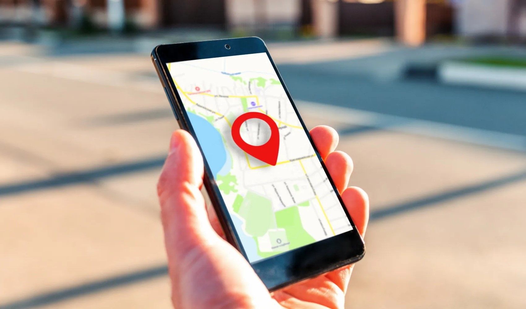
The foundations of the GPS project, which significantly facilitates human life, date back to the 1960s. This project was brought to life as the product of many secret engineering studies. The US Department of Defense designed GPS technology in early 1973 to operate with 24 satellites. However, the project did not become fully operational until late 1994. At that time, GPS took its current form with the contributions of engineers Bradford Parkinson, Roger L. Easton, and Ivan A. Getting.
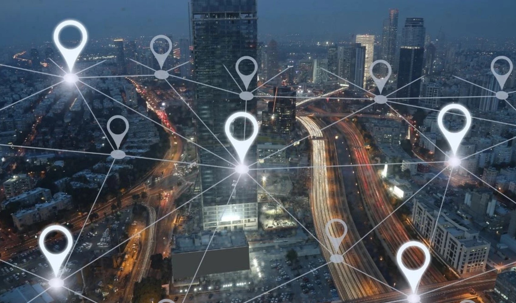
WHAT IS GPS?
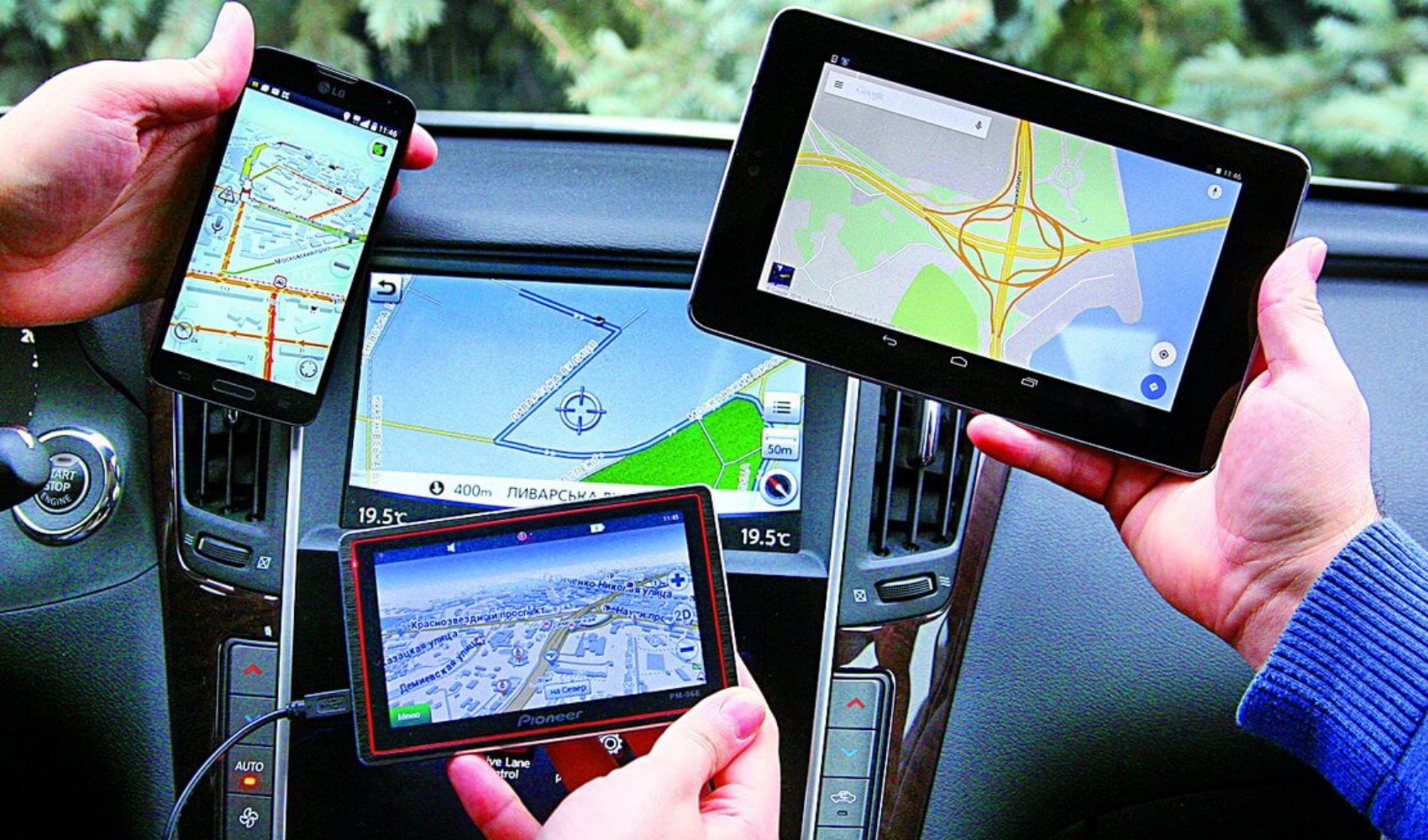
The Global Positioning System (GPS) is a navigation system that uses satellites, GPS receivers, and algorithms to synchronize location, speed, and time data for air, sea, and land travel. Used today in many areas from mobile phones to our cars, smartwatches to unmanned aerial vehicles (UAVs), GPS makes getting lost almost impossible by showing your location on a map. GPS satellites consist of a constellation of 24 satellites in six Earth-centered orbital planes, each with four satellites. However, it is stated that only 18 satellites are currently working actively.
HOW DOES GPS WORK?
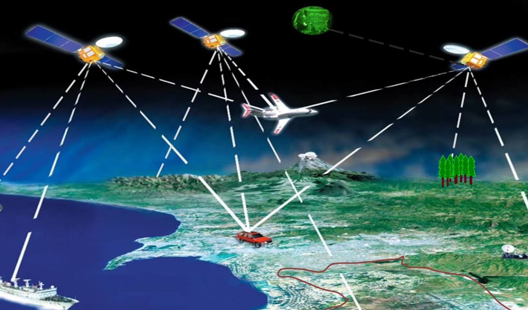
GPS works with a technique called trilateration. This technique, used to calculate location, speed, and altitude, obtains location information by collecting signals from satellites. Trilateration is a technique that measures distances, not angles. GPS satellites orbiting in space send signals to a GPS device on Earth. Thanks to these signals, the device can calculate its position on Earth. A GPS device determines an accurate location by receiving signals from at least 4 GPS satellites.
IN WHICH AREAS IS GPS USED?
GPS technology is a powerful tool widely used in many sectors. It has a very wide range of use, from map engineers to military organizations, pilots to boat captains, and first responders to those working in the mining and agricultural sectors. GPS is also used for tasks such as precise speed measurement, location detection, location tracking, and navigation. GPS technology can work in almost all weather conditions.

GPS AND ITS MILITARY USE
GPS plays a critical role, especially in the military field. GPS technology is a great aid in reconnaissance, surveillance, intelligence gathering, and UAV missions. Furthermore, GPS is used for determining target locations in mountainous terrain and for guiding military weapons accurately toward targets.
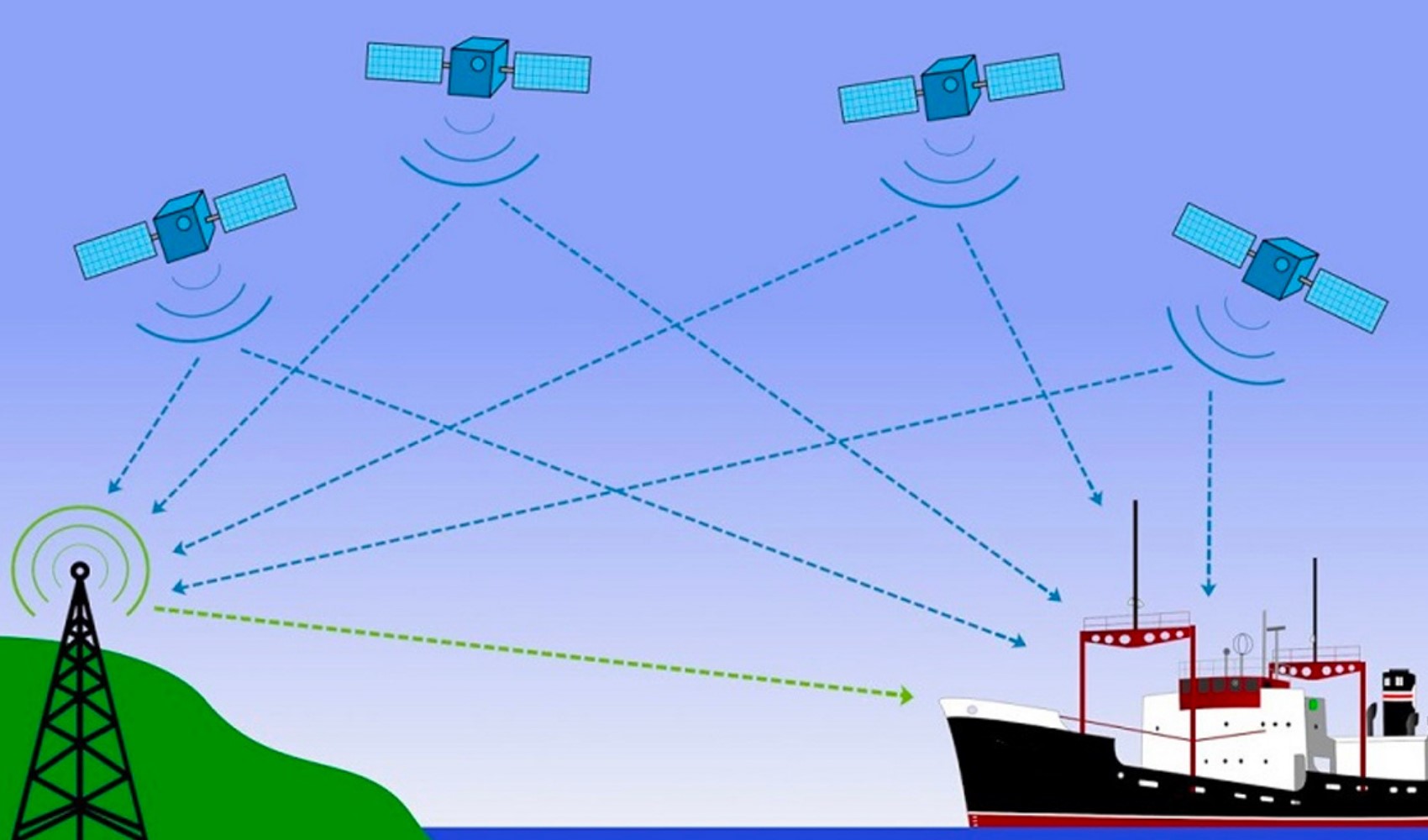
HOW IS LOCATION TRACKING DONE WITH GPS?
Tracking a person's location without their consent is strictly illegal. Apple's AirTag device, which was released last year, became the focus of criticism because it was used for purposes other than its intended use. Therefore, it may be necessary to clarify location tracking. Through legal means, you cannot track anyone without their knowledge. However, thanks to the Location Sharing feature in Google Maps, for example, users can share their real-time location with friends and family. When activated by the user, the people with whom it is shared can access private details such as location information, recent places visited, mode of travel, and device information. Moreover, this information is updated even when the application is not in use.