Meteorological data updated: New snow warning issued for Istanbul
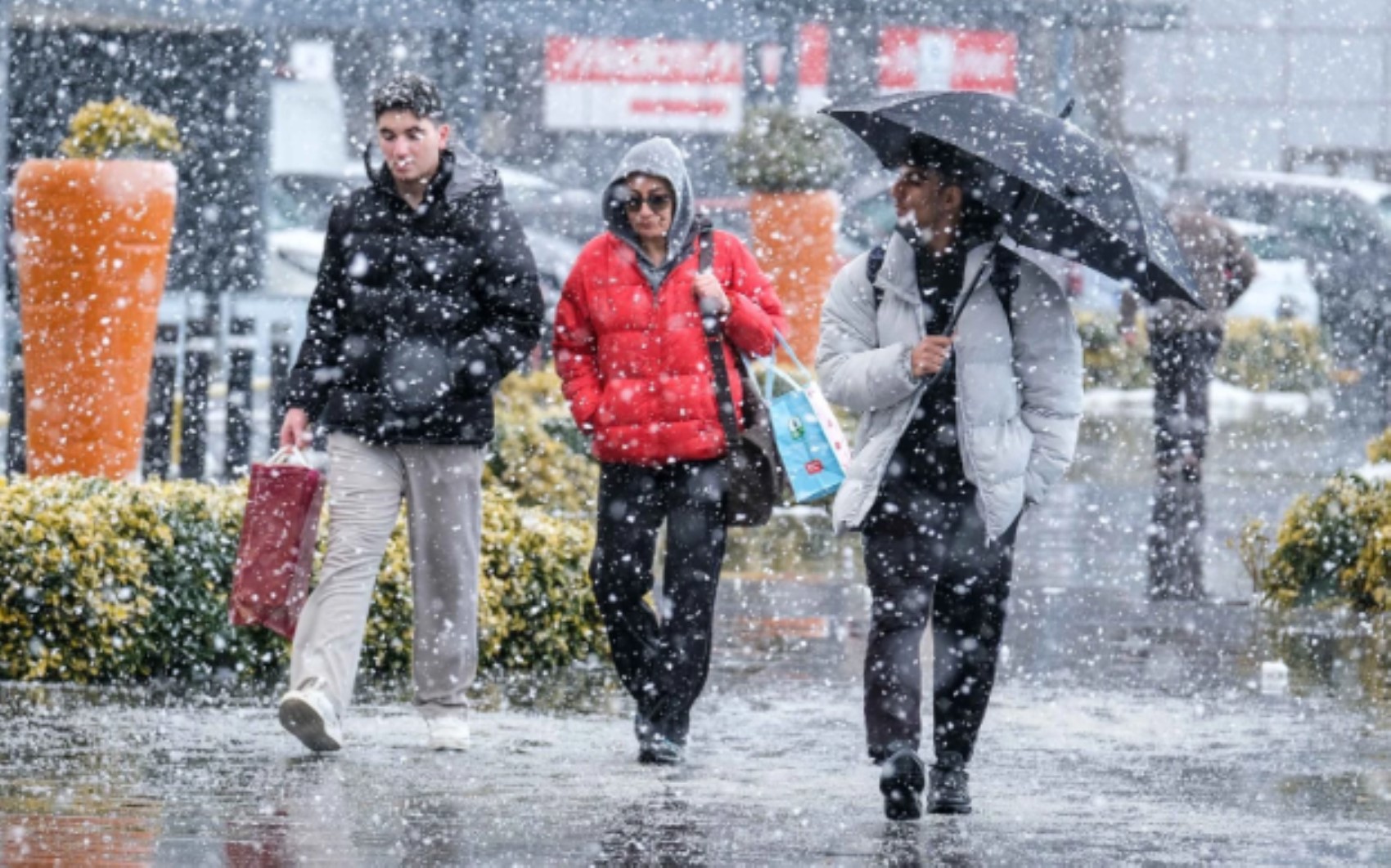
According to the latest weather map from the General Directorate of Meteorology, Turkey is entering the influence of a new cold wave. AKOM announced that temperatures in Istanbul, in particular, will drop significantly and that snowfall may be seen again starting from a specific date. Experts advise caution regarding the weather conditions.
12punto
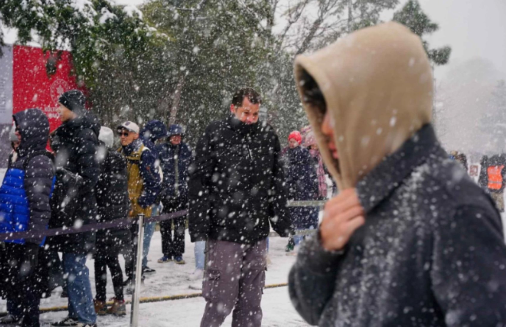
In the coming days, with therapid drop intemperatures, snowfall is expected to be effective again. So, when will it snow in Istanbul?
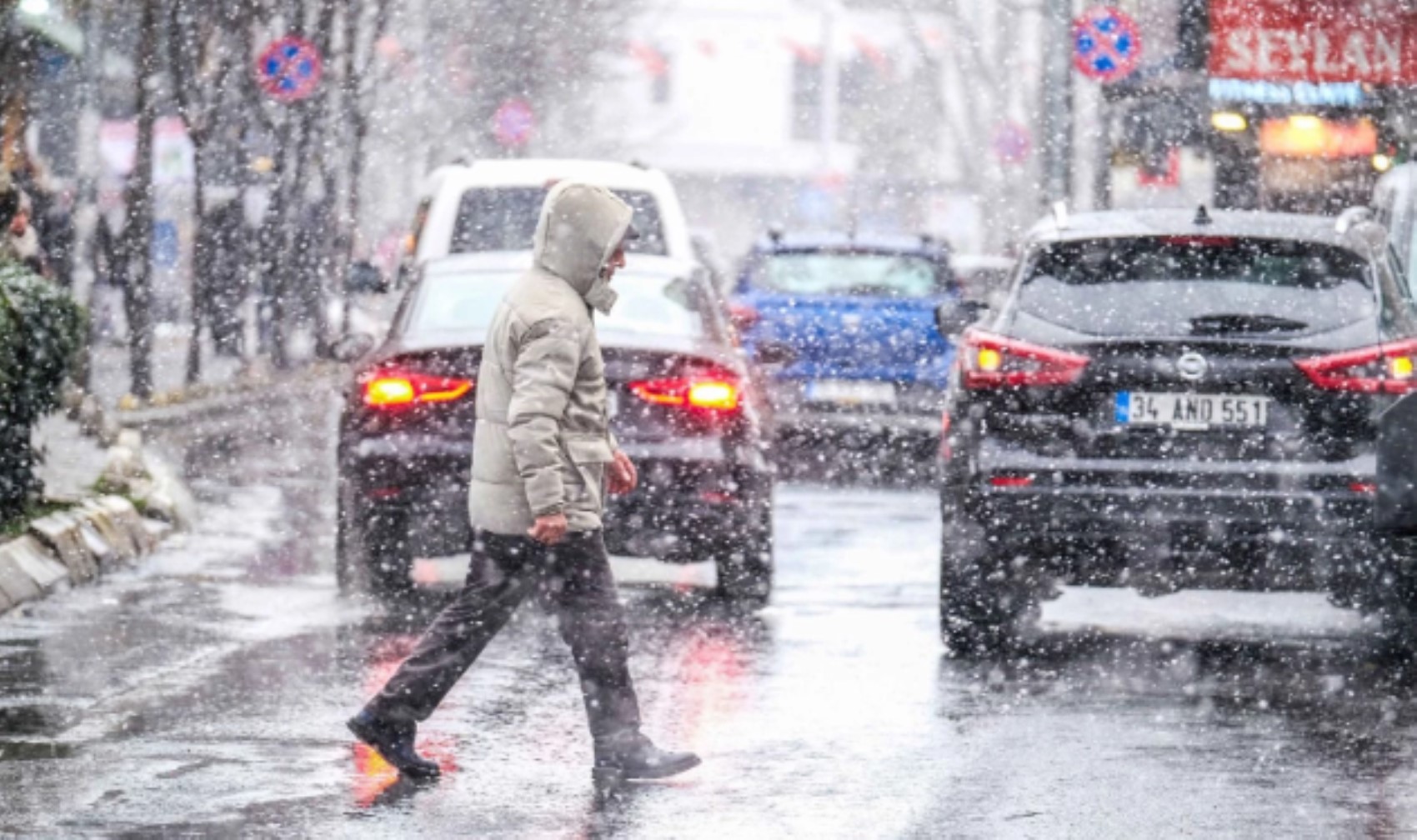
According to the forecasts made by the General Directorate of Meteorology: The northern, inner, and eastern parts of the country are expected to be very cloudy, with precipitation in the eastern part of the Eastern Mediterranean, Central Anatolia, the Black Sea, Eastern and Southeastern Anatolia, as well as the surroundings of Kocaeli, Sakarya, Bursa, Bilecik, the Anatolian side of Istanbul, Kütahya, Afyonkarahisar, and Mersin, while other areas are expected to be partly cloudy. It is predicted that the weather will be partly cloudy in other places. Rain and showers are expected along the Eastern Mediterranean coast and in the south of Southeastern Anatolia, while sleet and snow are expected in other areas receiving precipitation. The precipitation is expected to be locally heavy in the southeast of Eastern Anatolia, the surroundings of Siirt, Batman, and Rize, and the coastal parts of Artvin. Icing and frost are expected in the Marmara region and in the inner and eastern regions during the morning and night hours. In the high parts of the inner sections of the Eastern Black Sea and in the east of Eastern Anatolia, there is a risk of avalanches in areas with high snow cover. Authorities warn citizens to be prepared for these conditions. The cold wave is expected to persist throughout the week. Drivers are advised to use winter tires. Public transportation may experience delays. Citizens should follow official updates. The temperature drop will be felt across the country. Snowfall is expected to intensify in the evening. Stay tuned for further meteorological reports. We will continue to provide updates as they become available.in sloping areas avalanche danger exists.
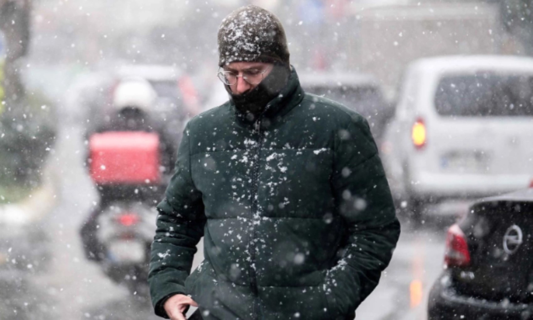
AIR TEMPERATURE: It is estimated that there will be no significant changein air temperatures, and they will remain 3-6 degrees below seasonal norms in the northern, inner and western parts of the country, and around seasonal norms in the eastern parts.

WIND: It is expected to blow from northerly directions in the inner and western parts of the country, and from southerly directions in the southeastern parts, light to occasionally moderate in strength, and from the northwest along the South Aegean coasts, the Mediterranean, and the south of Central Anatolia, and from the southeast in the east of Eastern and Southeastern Anatolia, blowing strongly and occasionally as short-term storms(40-70 km/h).STRONG PRECIPITATION WARNING: Since local heavy precipitation is expected in the southeastern part of Eastern Anatolia, the surroundings of Siirt, Batman, and Rize,and the coastal section of Artvin, it is necessary to be careful and take precautions against potential adverse events (transportation disruptions, floods, inundations, lightning, local small-scalehail, icing and frost in areas with snowfall, blizzards, etc.).STRONG WIND WARNING: It is expected to blow from the northwes
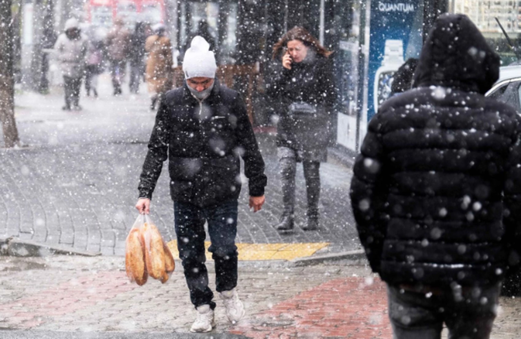
t along the South Aegean coasts, the Mediterranean, and the south of Central Anatolia, and from the southeast in the east of Eastern and Southeas tern Anatolia.The wind is expected to blow strongly and occasionally as short-term storms(40-70 km/h) in these regions.

Citizens are advised to be cautious against potential disruptions.The meteorological update highlights the need for vigilance.Local authorities are monitoring the situation closely.Travelers should check road conditions before departing.Emergency teams are on standby for potential interventions.The cold wave is expected to persist for several days.Further updates will be provided as new data becomes available.Stay tuned to official channels for the latest information.from thedirections, strong and occasionallyshorttermstorm-force winds (40-70 km/h) are expected, so caution and precautions should be taken againsttree and utility pole toppling, roofdislodging,therisk of stove and natural gas-related flue gas poisoning, and disruptions in transportation.

WARNING FOR ICING AND FROST: During the morning and night hours, in the inner and easternparts of our country, icing and frost, along with mist and occasional fog, are expected; therefore, caution and precautions should be taken against potential negative consequences.
AVALANCHEDANGER: In the highinner sections of the Eastern Black Sea region and thesloped areas with high snow cover in the east ofEastern Anatolia,there is an avalanchedanger.
WHAT THE WEATHER WILL BE LIKE
The General Directorate ofMeteorologyreportedthat temperatures in Istanbul will rise to 12 degrees on Thursday.Temperatures in the 3 majorcities will gradually increase starting from Wednesday. While the maximum
temperature in Istanbulis 4 degrees today,it will be 10 degrees on Wednesday and 12 degrees on Thursday.In Ankara, the maximumtemperaturewill beas follows.Theforecastindicatesa warming trend.The temperature is 1 degree today and Wednesday,and rises to5 degrees onThursday.In Izmir,temperatures will be 9 degrees, 14 on Wednesday, and 17 degrees on Thursday." SNOW WARNING FROM AKOM According to the statement made by the Istanbul Metropolitan Municipality Disaster Coordination Center (AKOM),“The cold and rainy weather affecting most of our country, especially Istanbul,is expected to lose its effect as of Tuesday evening.

Temperatures are expected to be around seasonal norms or 1-3
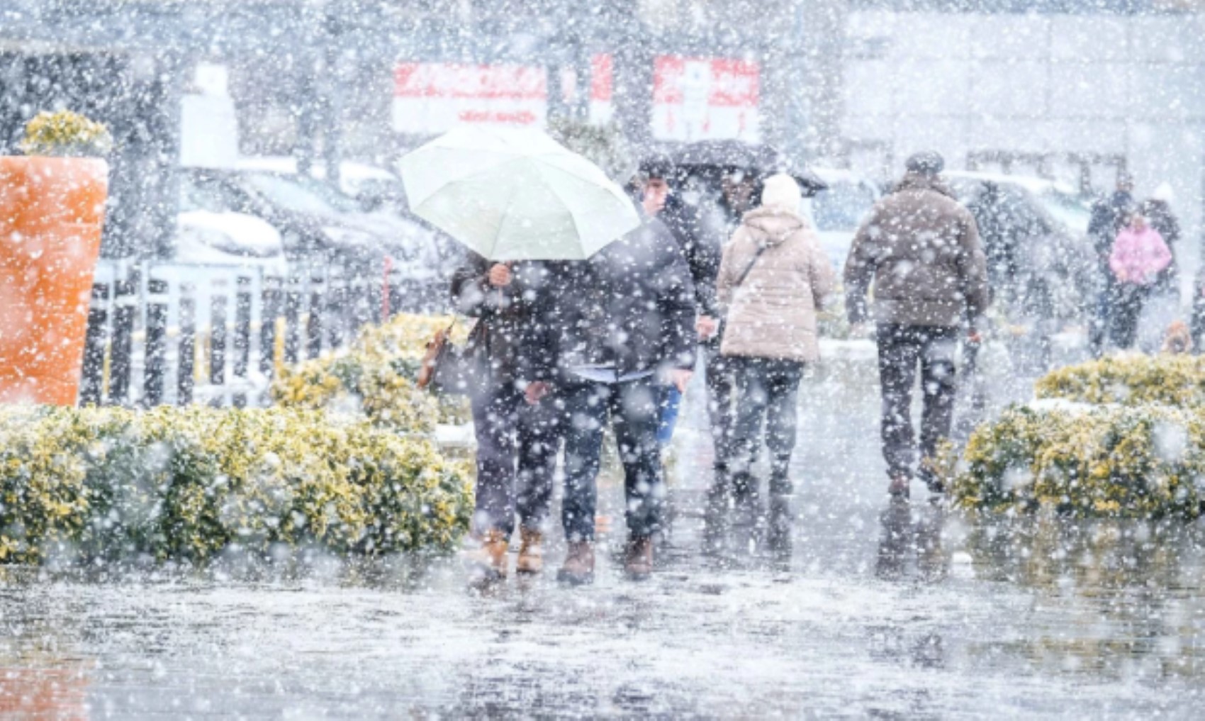
°C above until the weekend,and it is estimated that temperatures will drop by 3-5°C suddenly due to a new cold air mass entering our region by the weekend,returning to winter levels.”SNOW WILL RETURNAccording to the AKOM weekly weather forecast report,sleet is coming on Sunday. Precipitation is expected to be between 5 and 10 cm.It was stated that the sleetwill continue to be effective on Monday as well.