Tragic news delivered to Dilara, who was rescued from the rubble: Her recovery from intensive care was awaited
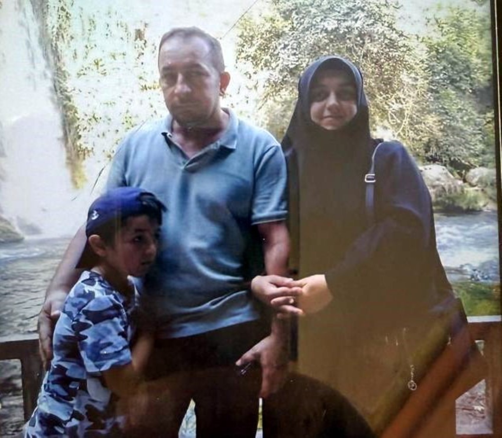
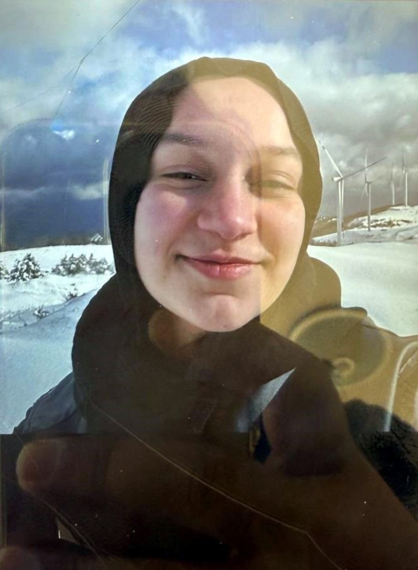
The tense wait continues following the disaster that occurred on October 29 in the Gebze district of Kocaeli. While scientists are examining meters below the ground using "seismic reflection" and "tomography," it was reported that 18-year-old Dilara, who was rescued alive from the rubble, was informed that she had lost her family of four by psychologists once she was out of intensive care.
İHA
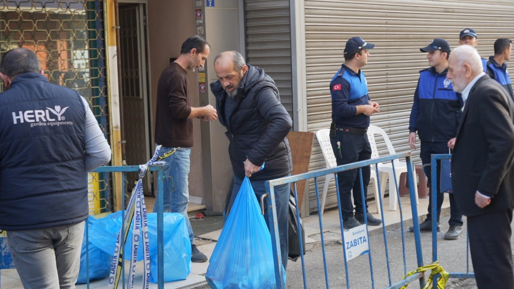
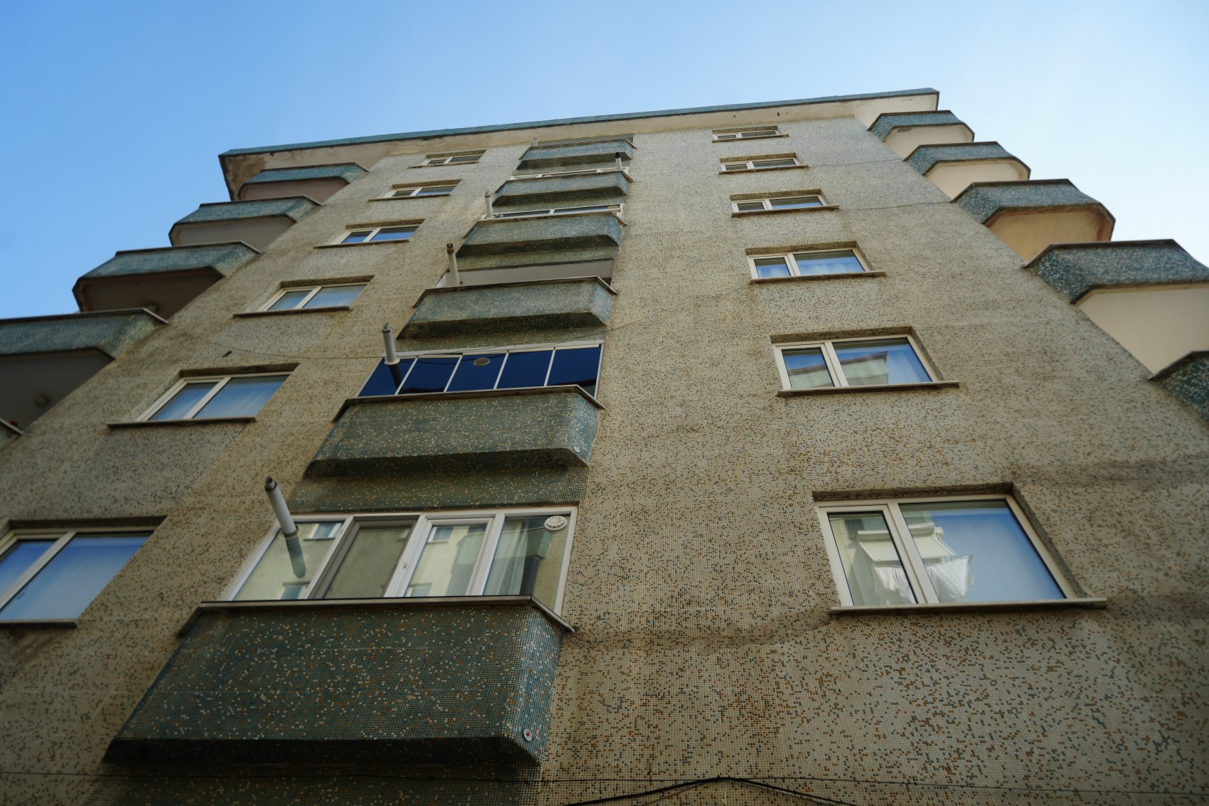
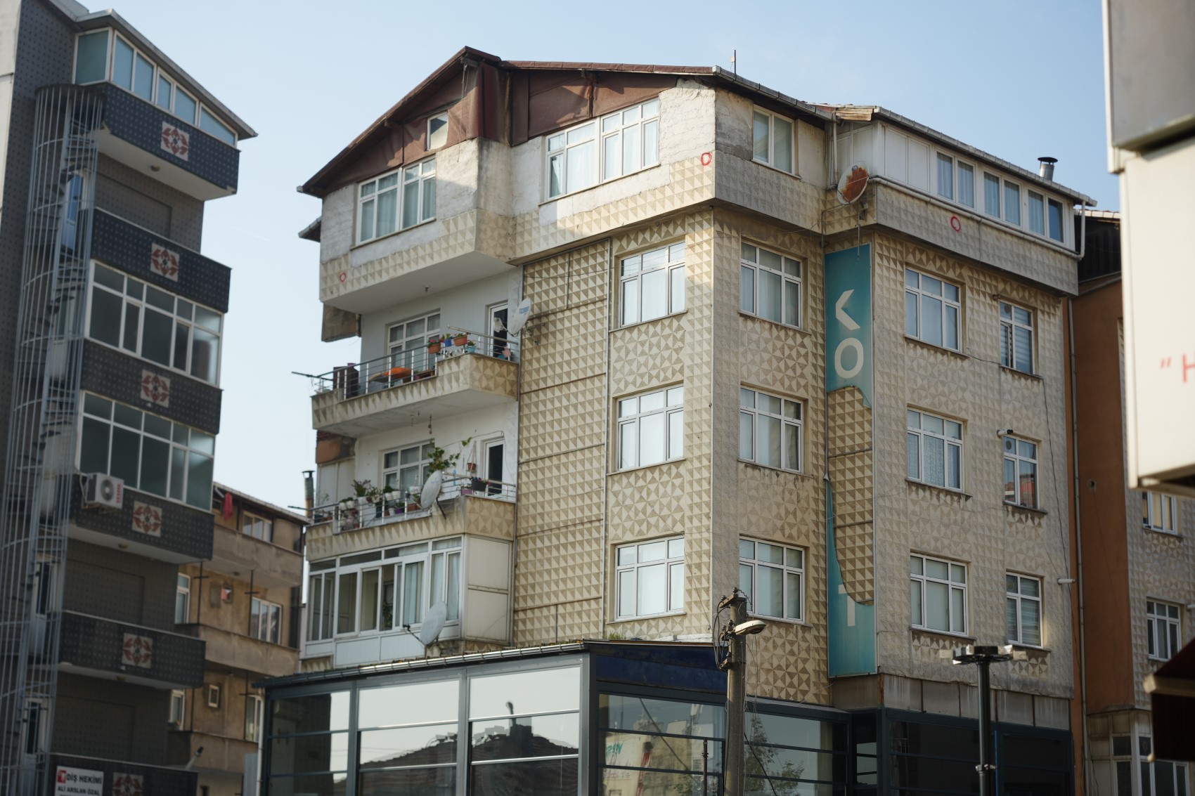
While research into soil and structural safety in the region continues following the disaster, cracks had appeared in the columns of a 5-story building on İbrahim Ağa Street in the Gaziler neighborhood 3 days later. Following the incident, a total of 21 buildings, 28 workplaces, and 79 independent units were evacuated as a security precaution.
HEARTBREAKING NEWS DELIVERED
It was reported that Dilara Bilir, who was moved from intensive care to a regular ward today, was informed by psychologists that she had lost all 4 members of her family.
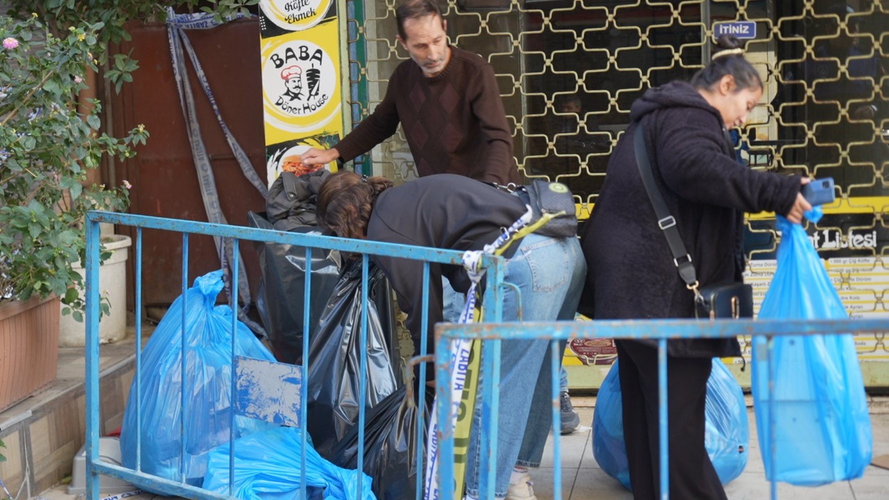
Citizens who came to some of the evacuated buildings in the Güzeller neighborhood of Gebze retrieved their urgent belongings under the supervision of teams and left the area. Diyar Hamitoğulları (23), who stated that their shops had been sealed for 4 days, said, "We emptied our workplace in 1-hour intervals. We handed over our keys. We have suffered financial losses. There is an uncertain situation. This place will be closed until further notice."
OPERATIONS ARE UNDERWAY
The scanning of more than a thousand buildings continues as part of the work carried out by teams from the Ministry of Environment, Urbanization and Climate Change. Scientists are conducting detailed analyses using all known techniques. Experts from AFAD, the Ministry of Environment, Urbanization and Climate Change, and universities are conducting comprehensive geophysical studies to both determine the cause of the collapse and assess the safety of surrounding buildings.
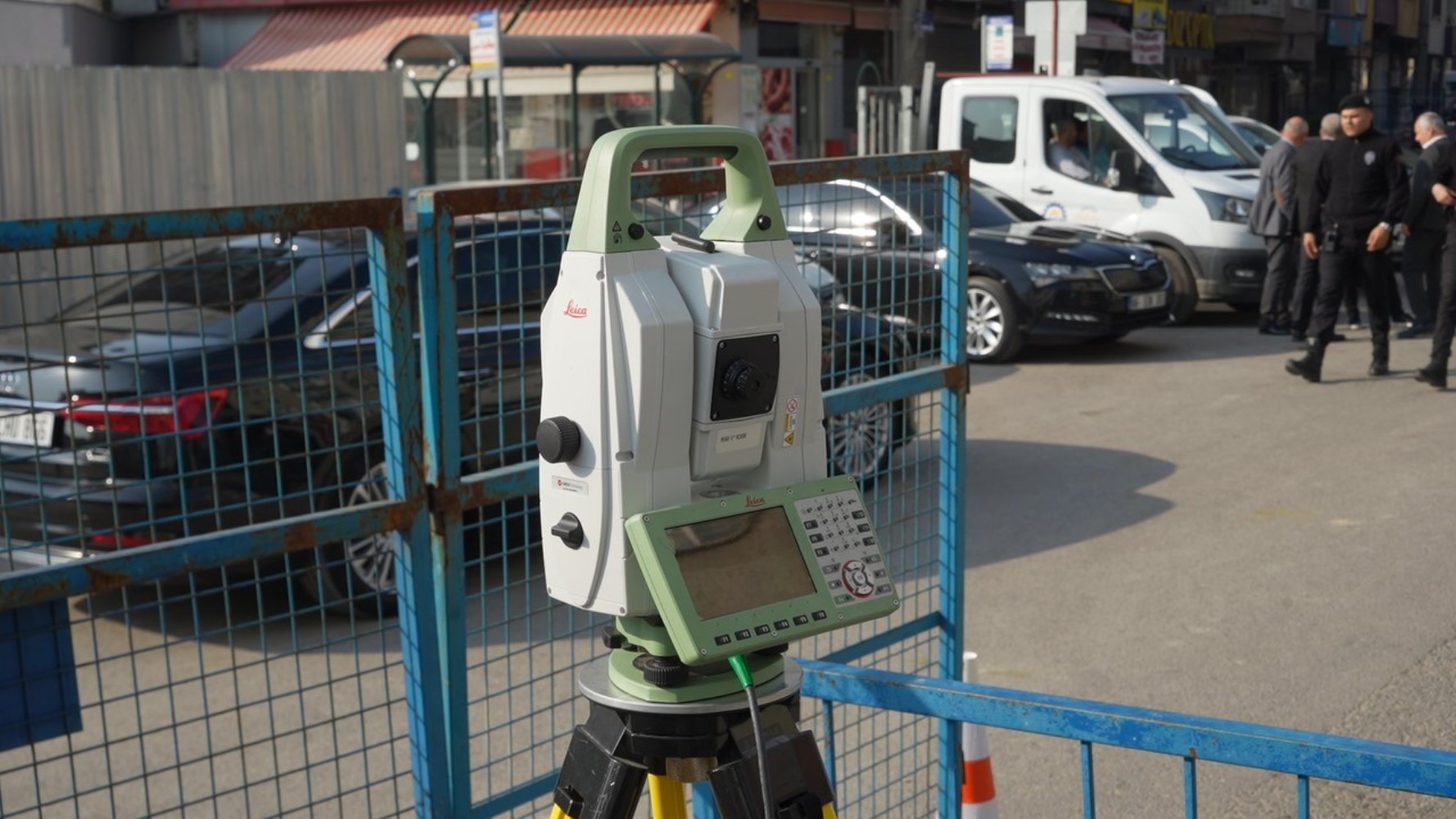
METERS BELOW THE GROUND ARE BEING IMAGED
Expert teams are examining meters below the ground in the area where the collapsed building was located using the "seismic reflection" method. By measuring seismic waves created by a special weight-drop system, layer differences in the soil, water pockets, and weak soil zones are being identified. In addition, with the "Electrical Resistivity Tomography (ERT)" system, cables are laid on the ground at specific intervals and an electric current is applied. Thanks to this method, the structure of the soil, layer differences, and potential voids are being imaged centimeter by centimeter. A soil map of the region will be created with the data obtained.
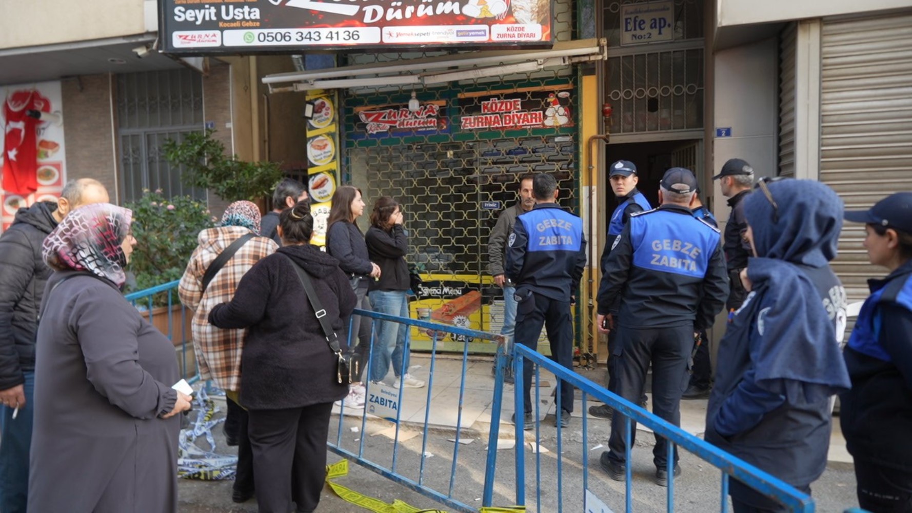
Not only the ground but also the surrounding buildings are being monitored with high-tech devices. Thanks to georadar scanning devices placed on the buildings, potential movements and structural deviations are being observed. The system, which operates at a 135-degree angle, scans all buildings to detect and report even the slightest movement.
Furthermore, deformation, deviation, and mobility in the region are being recorded with geodetic measurement devices. In this way, it is determined whether the buildings are moving, whether there is a static problem, and how changes in the soil are affecting the structures.
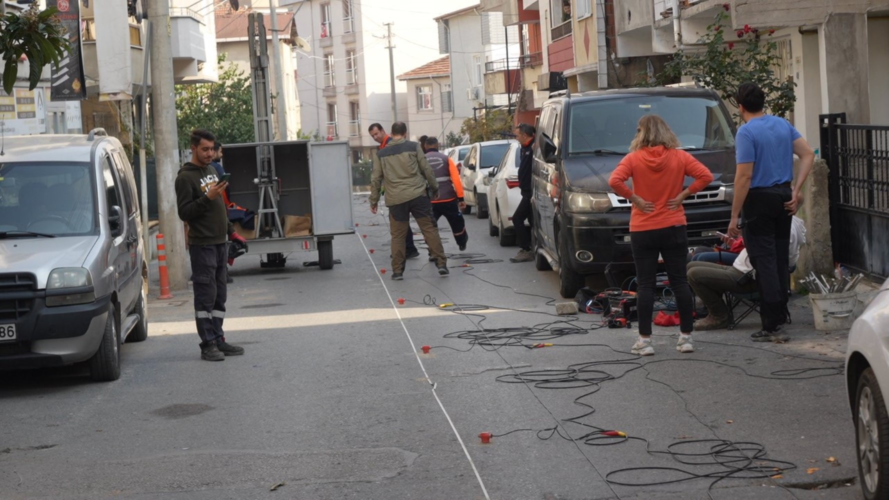
427 PERSONNEL AND 120 VEHICLES ARE WORKING
A total of 427 personnel and 120 vehicles from 27 public institutions and organizations are working in the field. Additionally, maps from the General Directorate of State Hydraulic Works and the General Directorate of Mineral Research and Exploration are being examined. Thus, many parameters and technical data are being combined to prepare a reliable report.
INVESTIGATION INTO WHETHER THERE ARE WATER WELLS
Furthermore, drilling work is being carried out by experts from universities to determine whether there is a water well in the foundation of the Arslan Apartment building, which has been cleared of rubble. During this work, teams from the General Directorate of Construction Affairs of the Ministry of Environment, Urbanization and Climate Change are also measuring the movement in the buildings with a georadar device that scans at a 135-degree angle.
It was reported that millimetric data is being collected through sensors placed on the buildings and risks are being reported.