Yellow alert for 13 provinces from Meteorology: Snowfall and icing expected
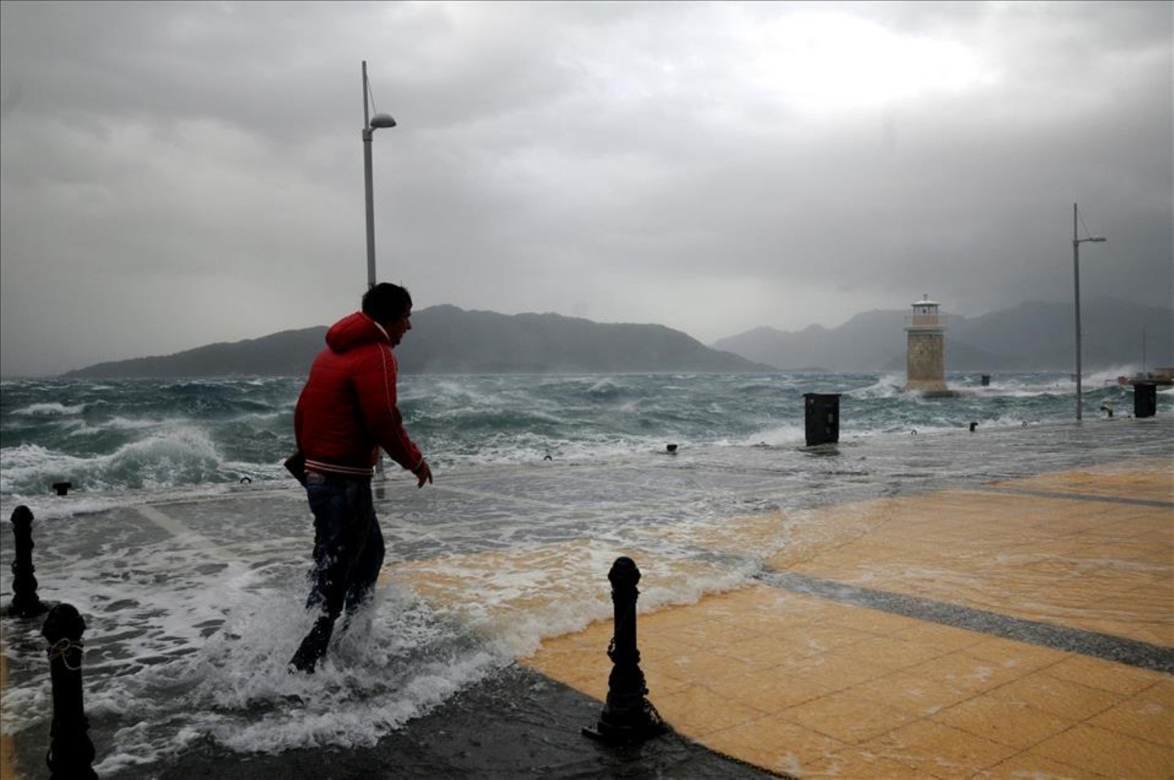
The General Directorate of Meteorology has issued a yellow alert for 13 provinces due to expected snowfall in the Marmara Region. Citizens have been warned to take precautions against heavy precipitation, the risk of icing, and the danger of avalanches. So, what will the weather be like on Monday, January 13? Here are the details...
12punto
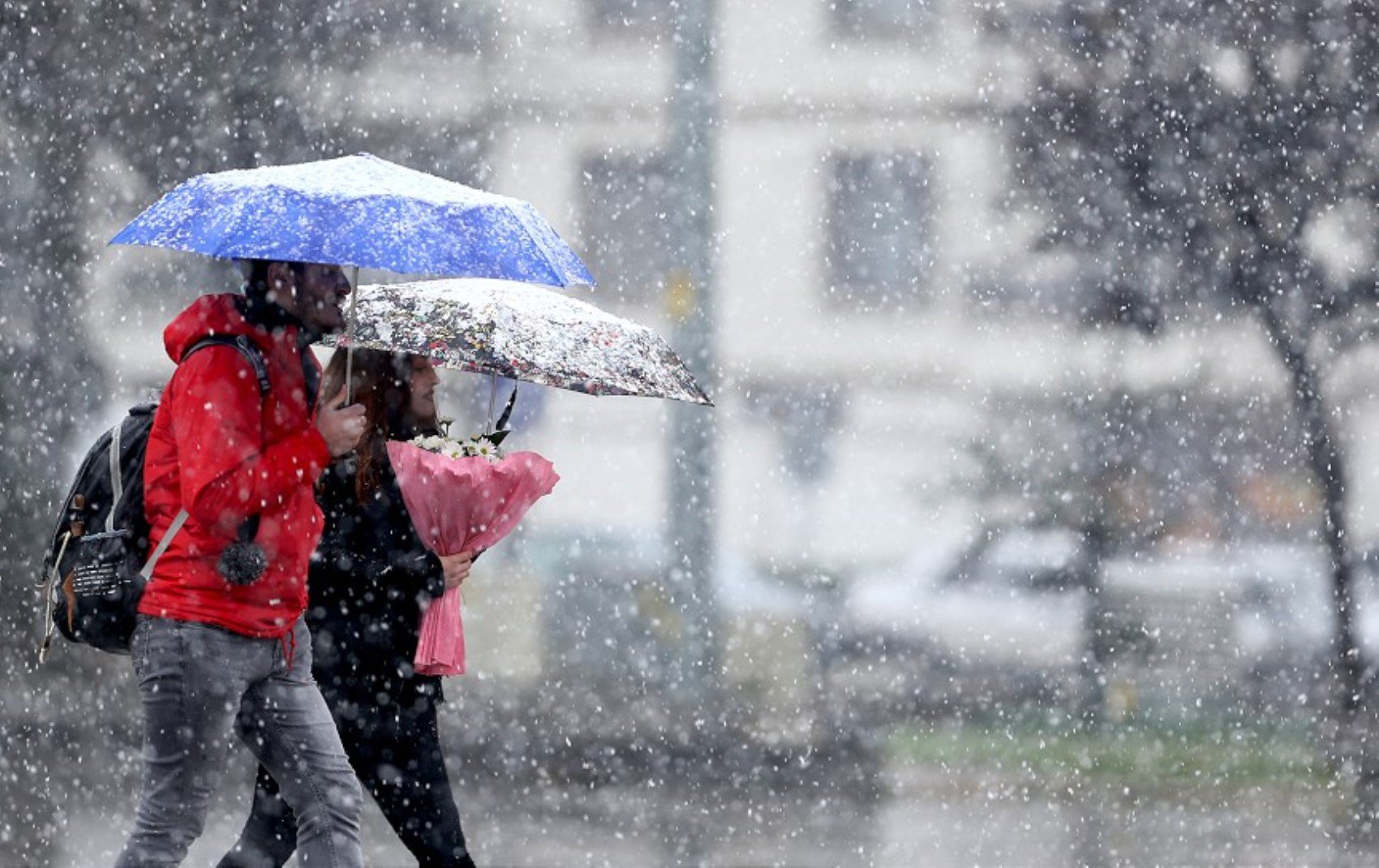
The General Directorate of Meteorology issued a yellow alert for 13 provinces today. It was stated that temperatures will drop with the precipitation expected to be effective especially in the Marmara, Aegean, and Black Sea regions, and that there may be risks of icing and avalanches in some areas.
COLD AIR WAVE FROM THE BALKANS
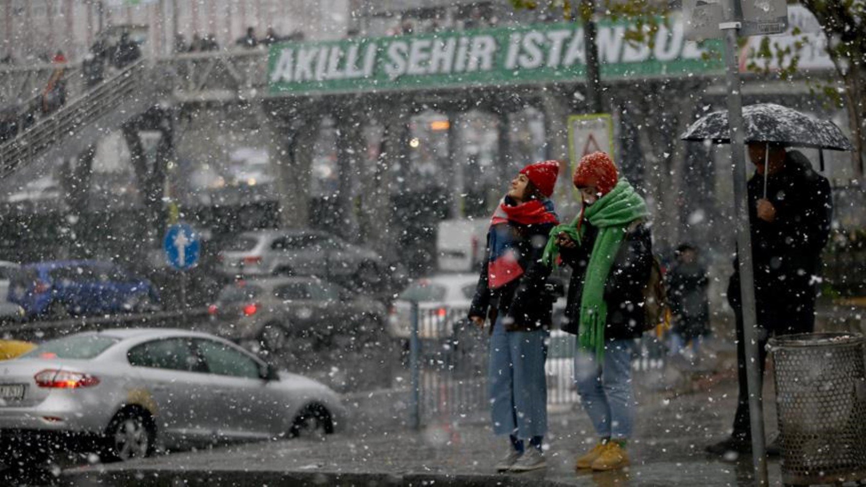
The cold air wave coming from the Balkans increases the probability of snowfall in the Marmara Region, especially in Istanbul.
WHICH PROVINCES ARE UNDER A YELLOW ALERT?
1.Aydın
2.Balıkesir
3.Bursa
4.Çanakkale
5.Edirne
6.Istanbul
7.Izmir
8.Kırklareli
9.Kocaeli
10.Manisa
11.Muğla
12.Tekirdağ
13.Yalova
WHEN WILL IT SNOW IN ISTANBUL?
According to statements by meteorological experts, temperatures need to drop a few more degrees for snowfall to be effective in Istanbul. It was stated that sleet and snowfall could be seen towards the weekend in the higher parts of the city, especially in areas like Çamlıca and Aydos Hill. Temperatures are expected to approach 0 degrees during the night hours.
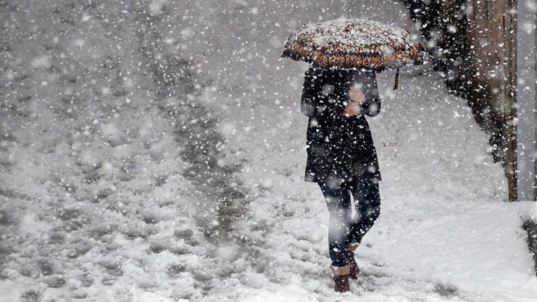
PRECIPITATION CONTINUES IN THREE MAJOR CITIES
Istanbul: Heavy rainfall is occurring in some parts of the city. While the air temperature is expected to drop to 6 degrees during the day, it is expected to fall to 2 degrees at night.
Ankara: The week began with rain and showers in the capital. The air temperature is estimated to be a maximum of 12 and a minimum of 4 degrees.
Izmir: Heavy precipitation will be effective in Izmir today. However, temperatures will remain higher compared to Marmara and Central Anatolia.
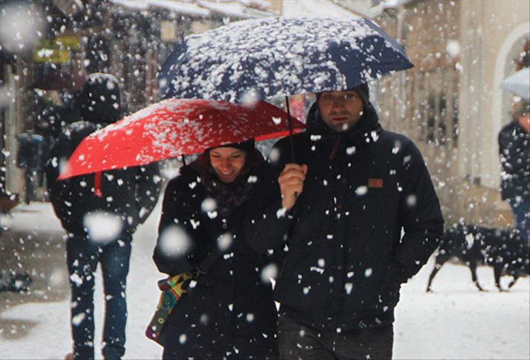
WHAT WILL THE WEATHER BE LIKE ACROSS THE COUNTRY?
According to the weather reports from the Meteorology, partly to very cloudy weather is expected across Turkey. Precipitation will be effective in the Marmara, Aegean, western Mediterranean, northwestern Central Anatolia, and the western parts of the Black Sea.
BEWARE OF ICING AND AVALANCHE DANGER!
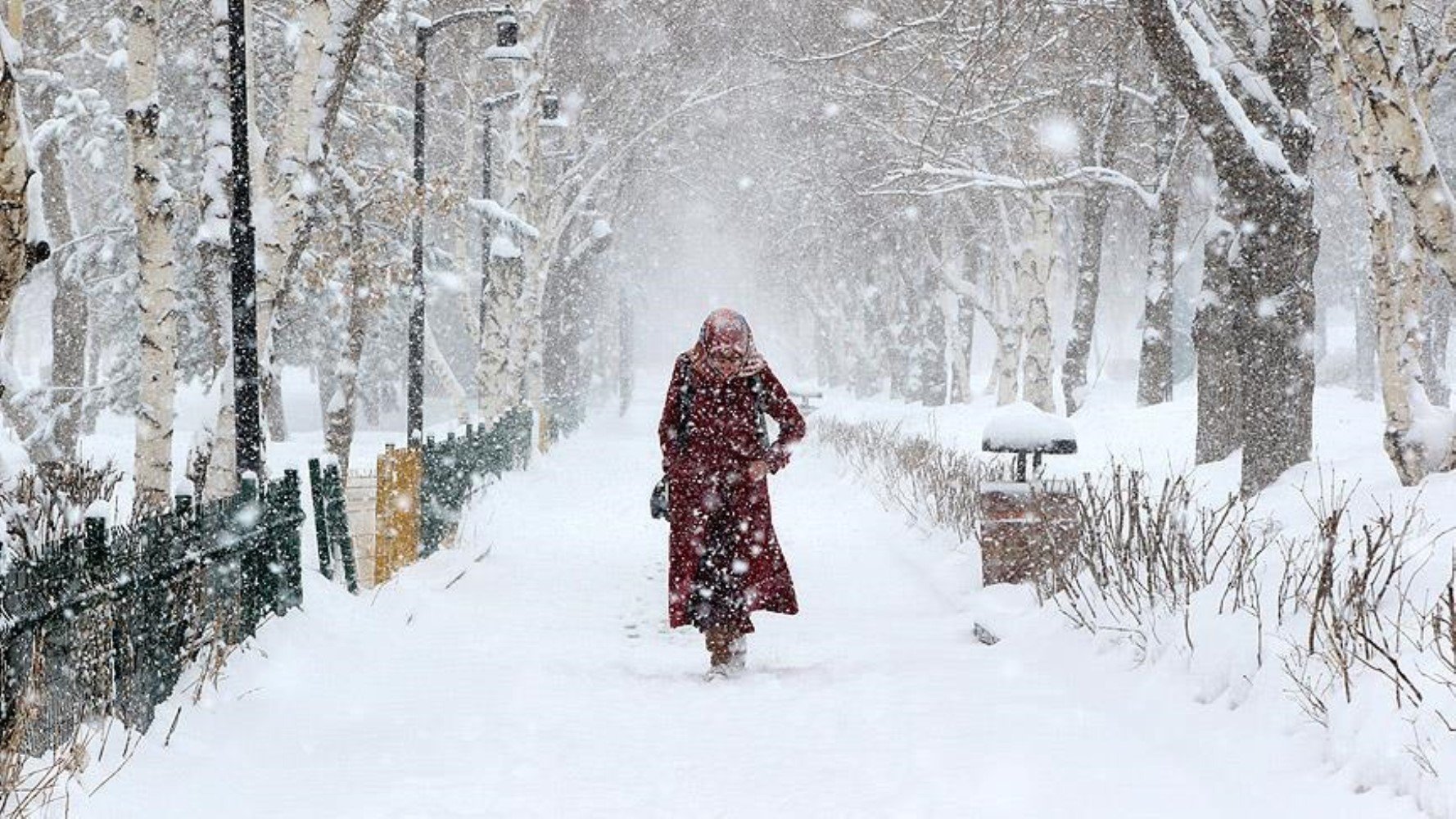
Meteorology has issued an avalanche warning for the steep slopes of Eastern Anatolia and the inner parts of the Eastern Black Sea. Icing and frost are expected in the inner and eastern parts during the morning and night hours. It was stated that this situation could negatively affect transportation, and citizens were asked to be cautious.
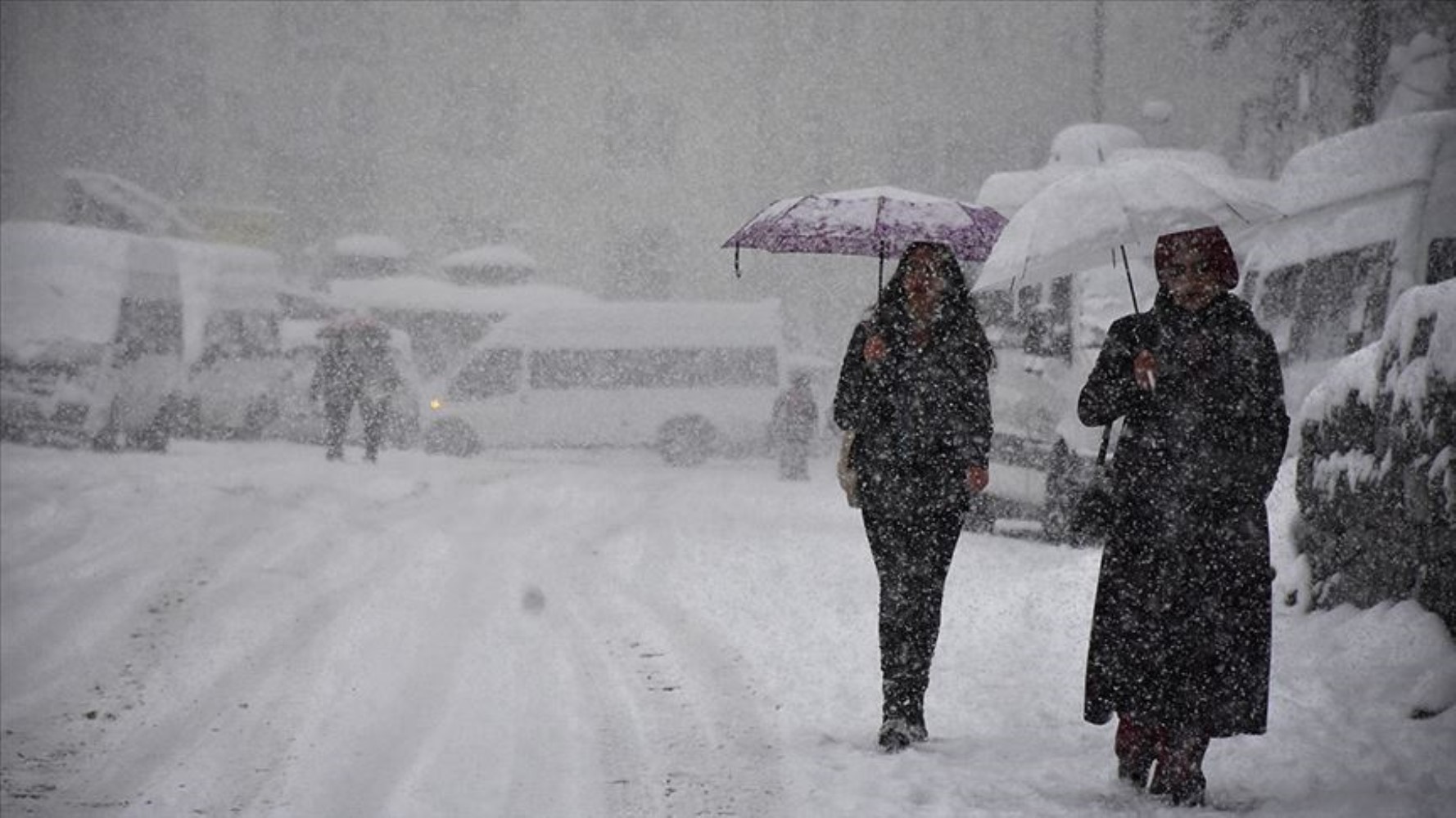
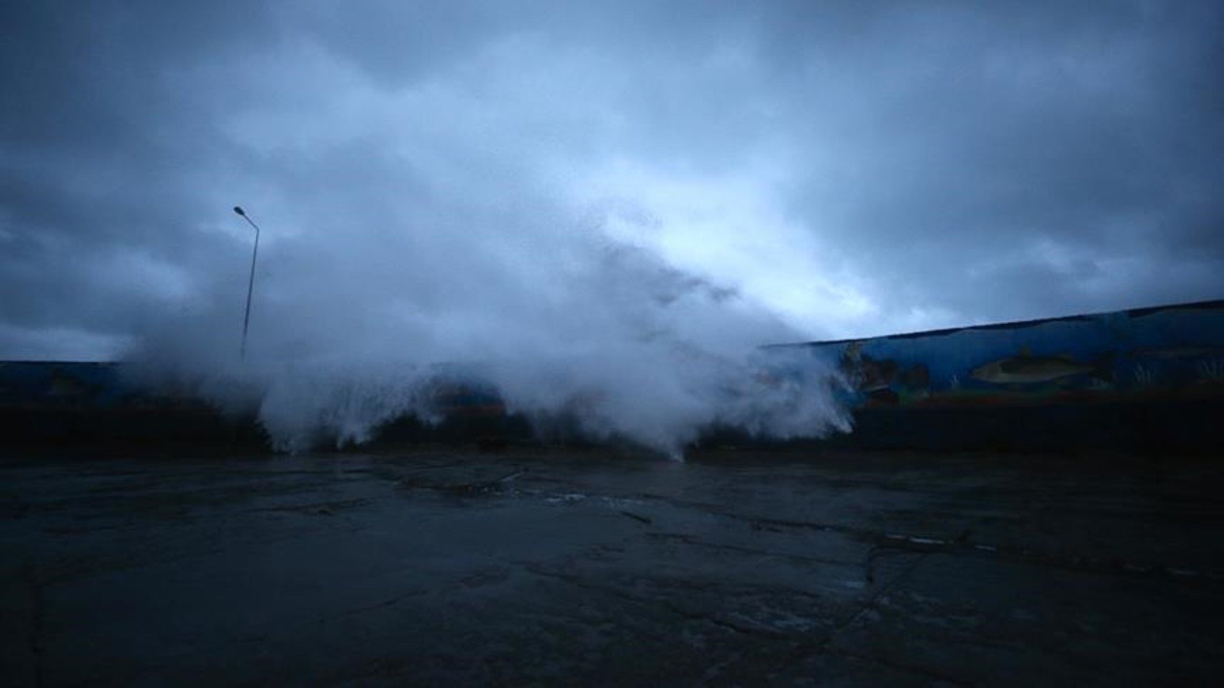
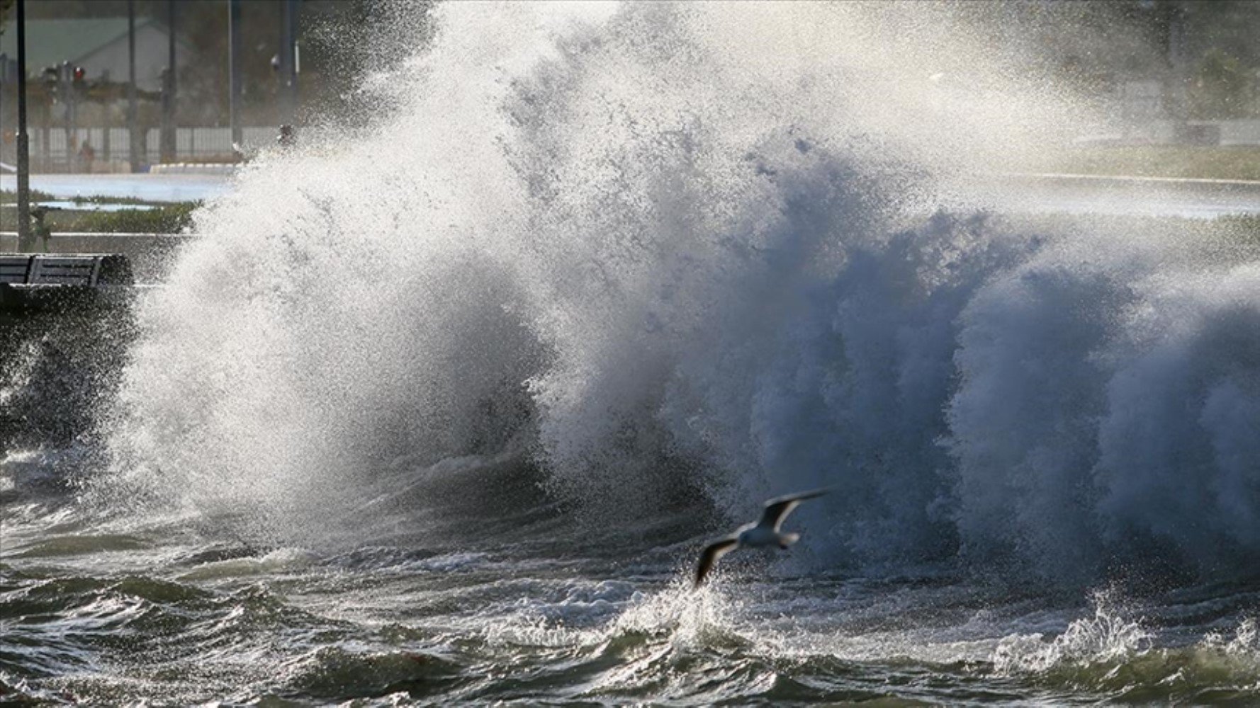
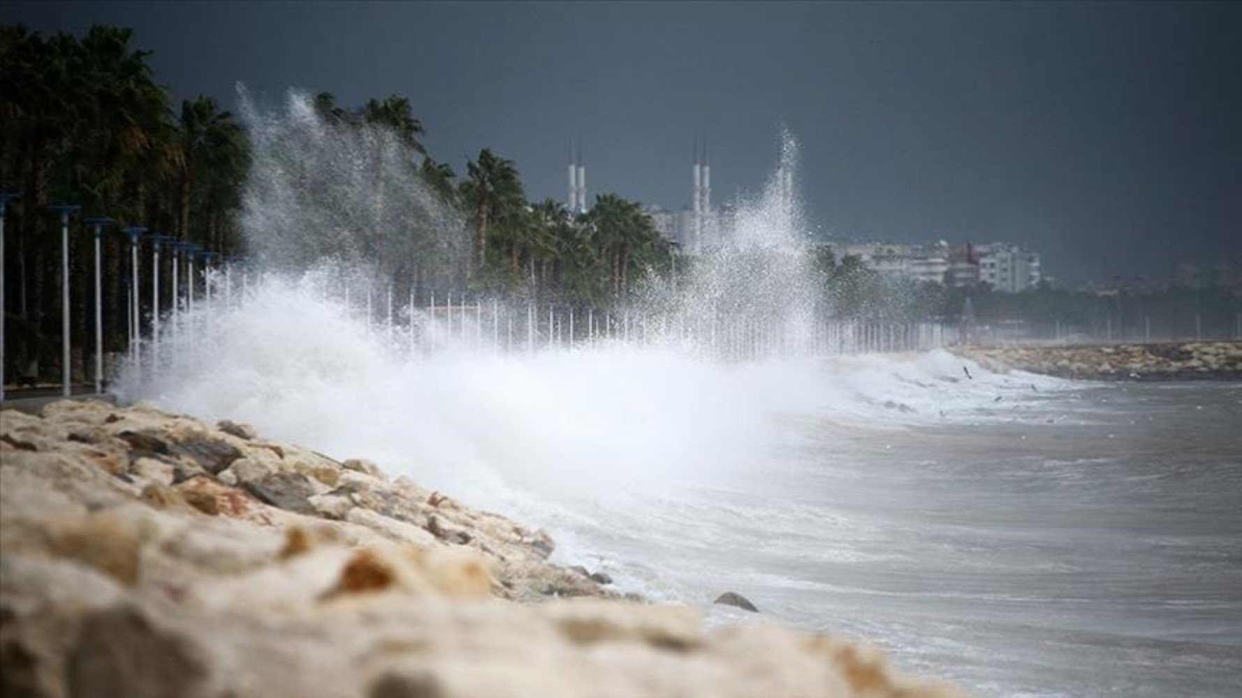
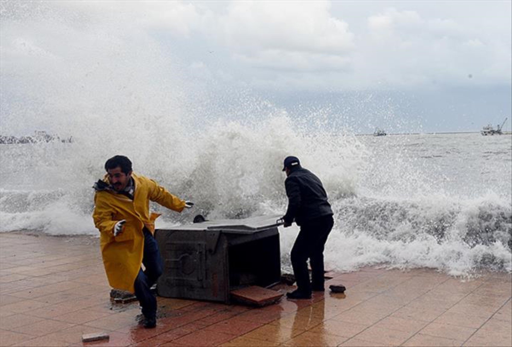
According to weather reports, the wind will blow strongly (40-60 km/h) from northern directions on the coasts of Marmara and the North Aegean. This situation may cause disruptions, especially in maritime transportation.
EXPERTS WARN
Meteorological officials emphasized that one should be careful against the negativities that may occur due to heavy precipitation and falling temperatures. Taking early precautions against risks such as icing, frost, and avalanche danger is important.
WHAT WILL THE WEATHER BE LIKE TODAY? HERE IS THE WEATHER BY PROVINCE
Marmara: Snow and strong wind expected
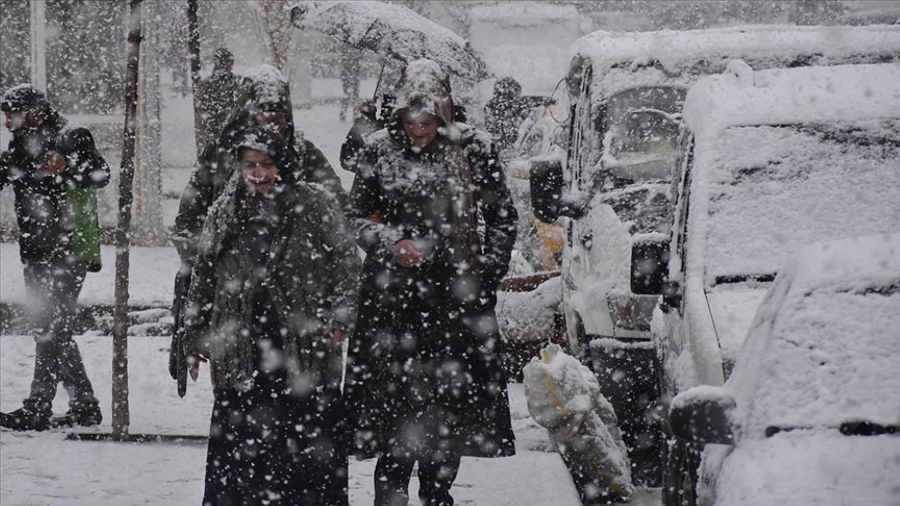
Partly to very cloudy weather will prevail throughout the Marmara Region. While rain and showers will be effective in the south and east of the region, sleet and snowfall will be seen in the surroundings of Edirne and Kırklareli.
Çanakkale: 6°C, partly to very cloudy, local heavy rain
Edirne: 2°C, very cloudy, sleet and snowfall
Istanbul: 7°C, partly to very cloudy, local heavy rain
Kırklareli: 2°C, very cloudy, sleet and snowfall
The wind is expected to blow from northern directions at a speed of 40-60 km/h.
Aegean: Heavy showers and hazy weather
Partly to very cloudy weather will be effective in the Aegean Region. While rain and showers are expected throughout the region, local heavy precipitation will be seen in the North and Coastal Aegean and the surroundings of Uşak. Haze and occasional fog are expected in the inner parts of the region during the morning and night hours.
Afyonkarahisar: 12°C, partly to very cloudy, showers
Denizli: 14°C, partly to very cloudy, showers
Izmir: 17°C, partly to very cloudy, local heavy showers
Muğla: 11°C, partly to very cloudy, local heavy showers
The wind is expected to blow strongly (40-60 km/h) from northern directions on the North Aegean coasts.
Mediterranean: Showers and heavy rain warning
Showers will be effective in the Western Mediterranean and the surroundings of Mersin. The precipitation is estimated to be locally heavy, especially in the eastern districts of Antalya.
Adana: 20°C, partly to very cloudy
Antalya: 17°C, partly to very cloudy, local heavy showers in the eastern districts
Hatay: 18°C, partly to very cloudy
Mersin: 18°C, partly to very cloudy, showers
Central Anatolia: Haze and rainy weather
Rain and showers will be effective in the northwest of the Central Anatolia Region. Precipitation is expected to be locally heavy in the surroundings of Eskişehir. Haze and occasional fog may be seen throughout the region during the morning and night hours.
Ankara: 12°C, partly to very cloudy, showers
Eskişehir: 7°C, partly to very cloudy, local heavy showers
Konya: 14°C, partly to very cloudy
Sivas: 11°C, partly to very cloudy
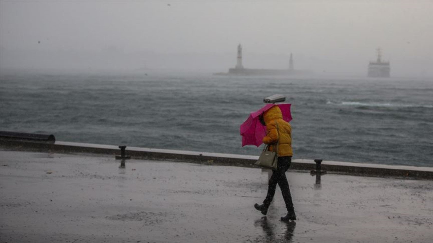
Western Black Sea: Rain and sleet
Rain and showers are expected throughout the region. While precipitation is predicted to be locally heavy in the surroundings of Düzce and Bolu, sleet and snow may be seen in higher altitudes.
Bolu: 7°C, partly to very cloudy, sleet and snow in higher altitudes
Düzce: 8°C, partly to very cloudy, local heavy showers
Sinop: 13°C, partly to very cloudy, showers
Zonguldak: 9°C, partly to very cloudy, local heavy showers
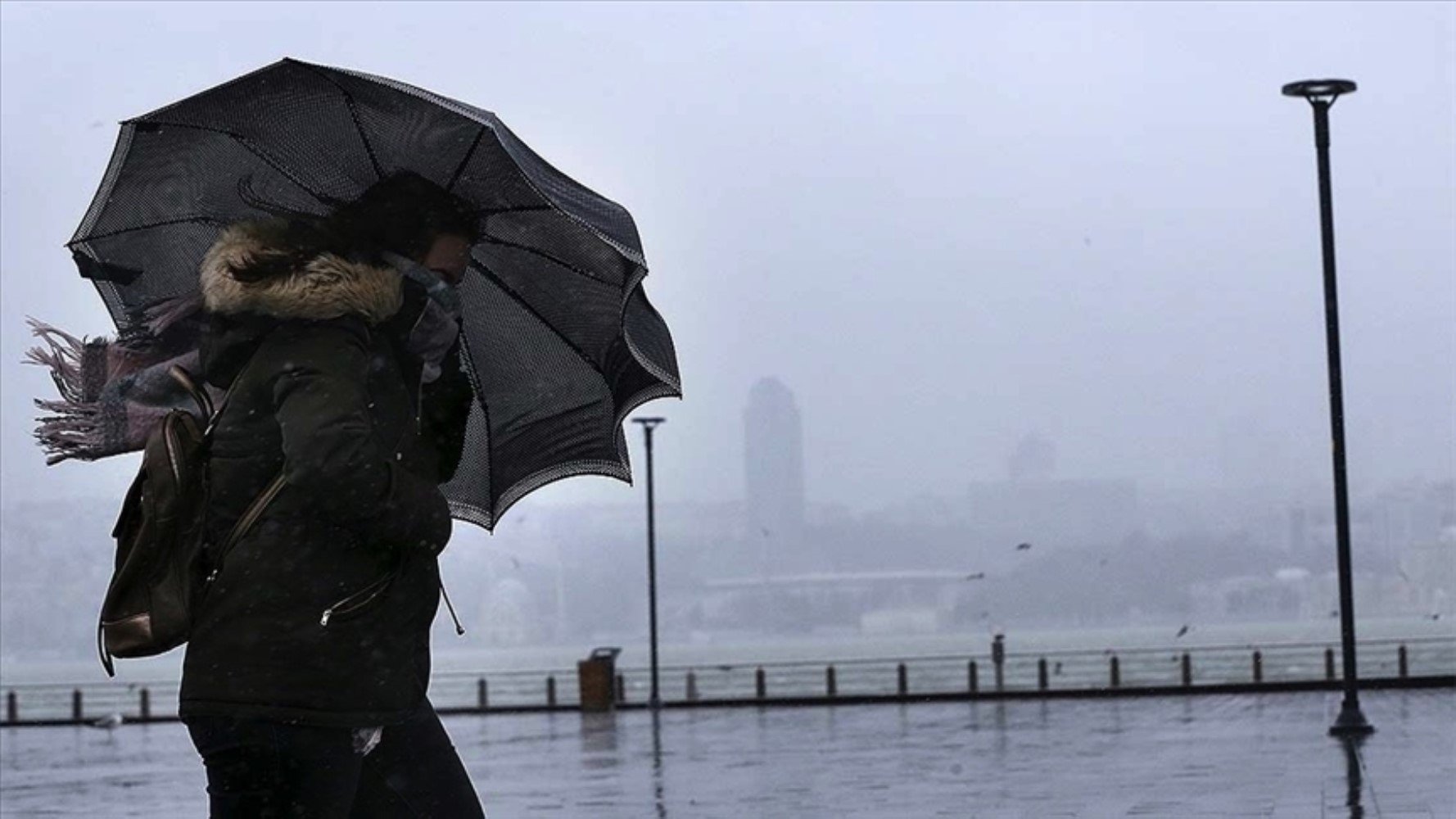
Central and Eastern Black Sea: Avalanche and icing danger
Rain and showers are expected in the Central Black Sea and the surroundings of Giresun, Trabzon, and Rize. Haze may be seen along with icing and frost events in the inner parts of the region. There is an avalanche risk in the inner parts of the Eastern Black Sea.
Amasya: 15°C, partly to very cloudy, showers starting from noon
Artvin: 13°C, partly to very cloudy
Samsun: 13°C, partly to very cloudy, showers
Trabzon: 15°C, partly to very cloudy, showers at night
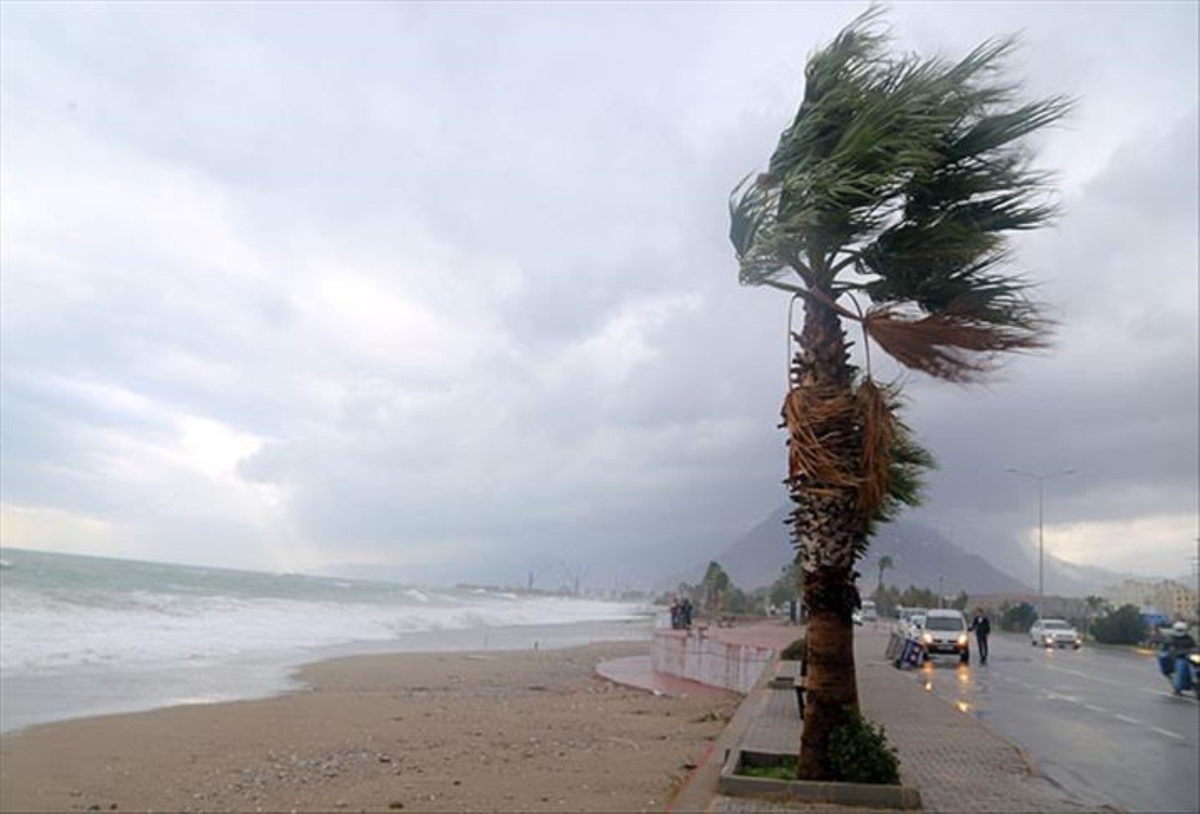
Eastern Anatolia: Icing and avalanche warning
The general of the region will be partly to very cloudy. There is an avalanche danger on the steep slopes in the east of Eastern Anatolia. Icing and frost are expected during the morning and night hours.
Erzurum: -1°C, partly to very cloudy
Kars: -1°C, partly to very cloudy
Malatya: 3°C, partly cloudy
Van: 4°C, partly to very cloudy
Southeastern Anatolia: Fog and haze will be effective
Partly to very cloudy weather is expected throughout the region. Haze and occasional fog may be effective during the morning and night hours.
Diyarbakır: 13°C, partly to very cloudy
Gaziantep: 14°C, partly to very cloudy
Siirt: 11°C, partly to very cloudy
Şanlıurfa: 16°C, partly to very cloudy
WHAT WILL THE WEATHER BE LIKE AT SEA?
Marmara: Storm, wave height 3 m
Aegean: Strong storm, wave height up to 4 m in some places
Black Sea: Storm-like wind, wave height 2.5 m