

First core drilling completed in 'Noah's Ark' research in Ağrı: Results to be clarified in the laboratory
Drilling and radar scans have been completed at the ship-shaped formation in Doğubayazıt. The team stated that the final results could be announced in the spring of 2027.



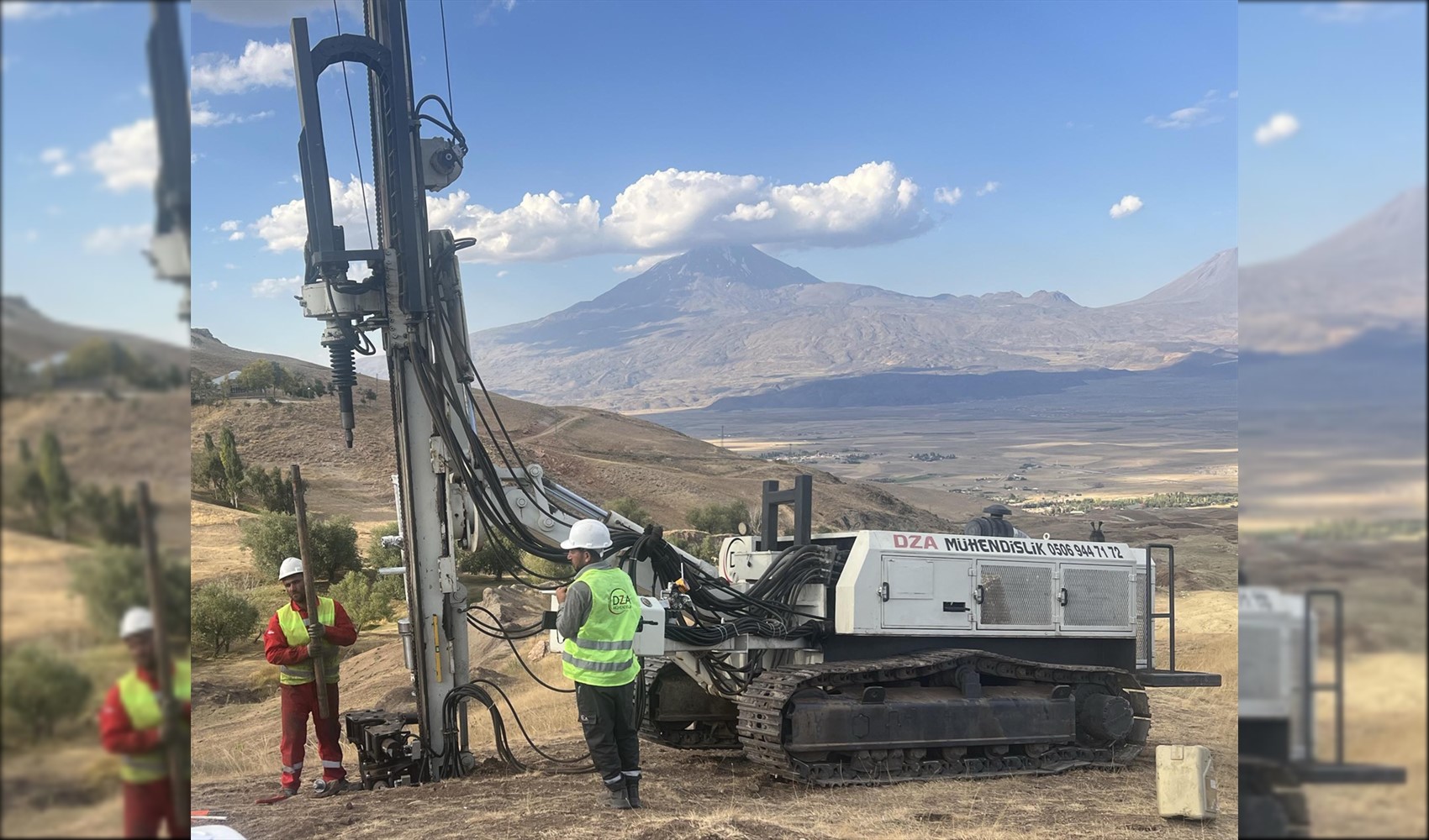
Field studies have been completed at the ship-shaped geographical formation in the Doğubayazıt district of Ağrı, which has been on the agenda for many years with claims of being "Noah's Ark." The project, led by Sivas Cumhuriyet University, involved core drilling, ground-penetrating radar scans, drone modeling, and sample collection.
According to information provided by the research team, initial findings showed that the structure does not consist of a single mass of rock. However, a definitive assessment of whether the area is a natural formation or a structure shaped by human activity will be made following laboratory analyses and the final report.
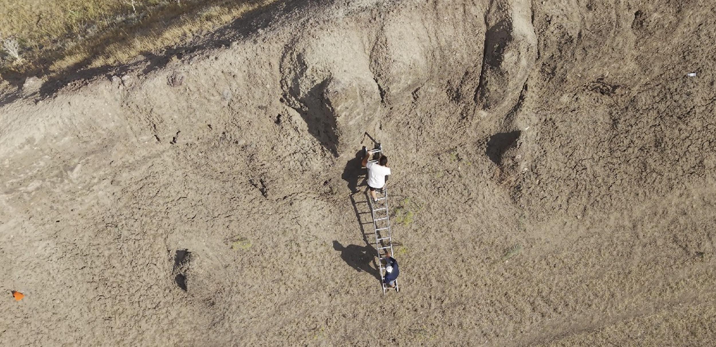
APPROXIMATELY ONE THOUSAND SAMPLES TO BE EXAMINED IN THE LABORATORY
Approximately 20 scientists from five countries took part in the "Noah's Ark Research Project," which was launched in May 2026 under the leadership of Prof. Dr. Cenker Atila, a faculty member of the Department of Archaeology at Sivas Cumhuriyet University's Faculty of Letters. The work focused on the area between the villages of Telçeker and Üzengili in Doğubayazıt.
In the project, the current structure of the terrain was modeled with drones, and the subsurface was scanned with a new-generation radar system. Approximately one thousand soil samples were taken from different points of the formation and sent to laboratories. Additionally, samples were extracted from underground via core drilling.
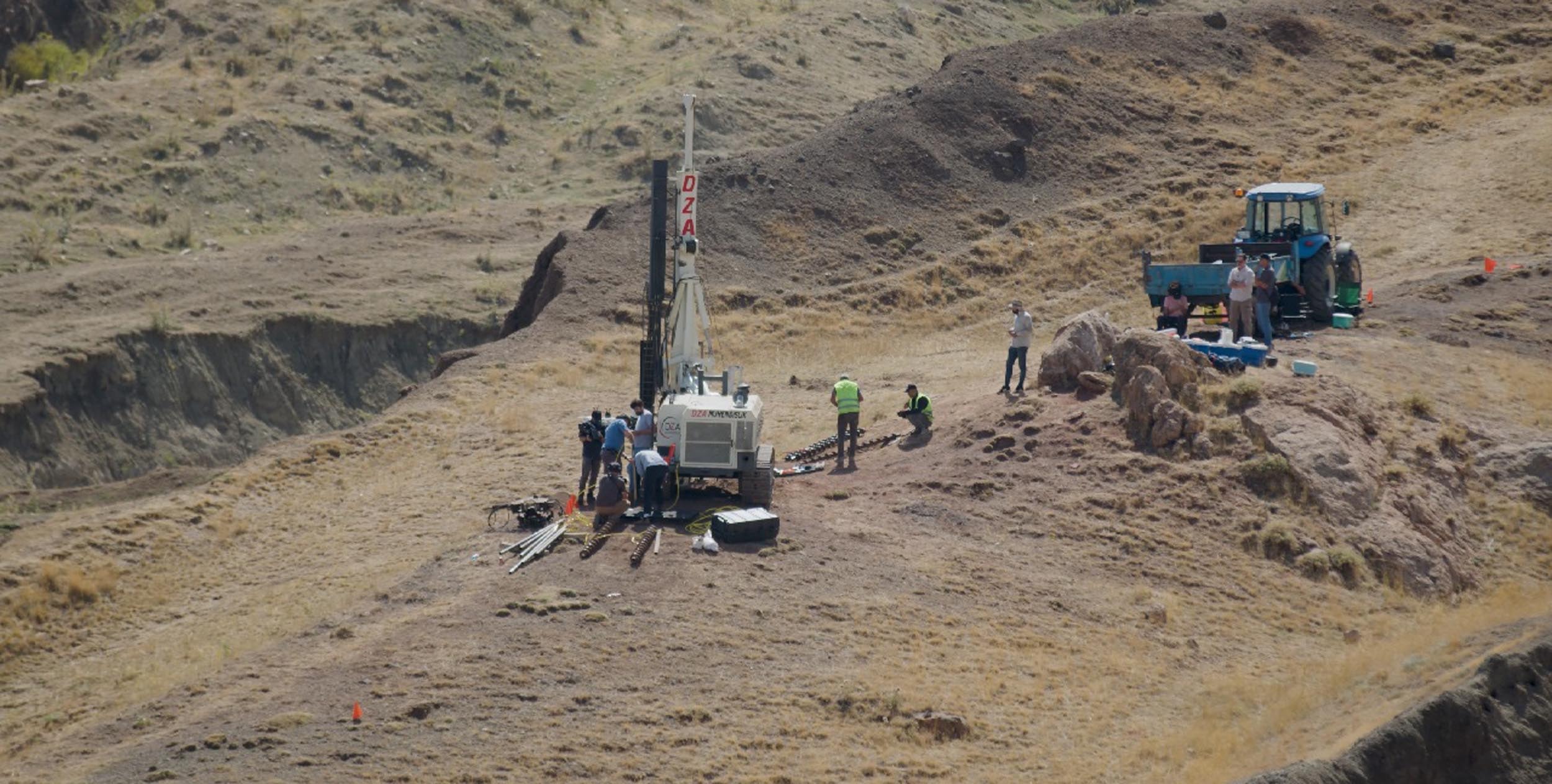
Andrew Jones, who served as the deputy head of the research team, stated that one of the most important data points obtained this season was the observation that the formation is not a monolithic rock. Jones stated that "continuous soil samples" were taken during the core drilling.
Recalling that some individuals argue the area is a natural rock that has taken on a ship form through erosion over millions of years, Jones said, "However, the biggest finding we obtained from the drilling is that the structure is entirely soil. There are some large rock blocks in the area, but the core machine continuously extracted soil samples."
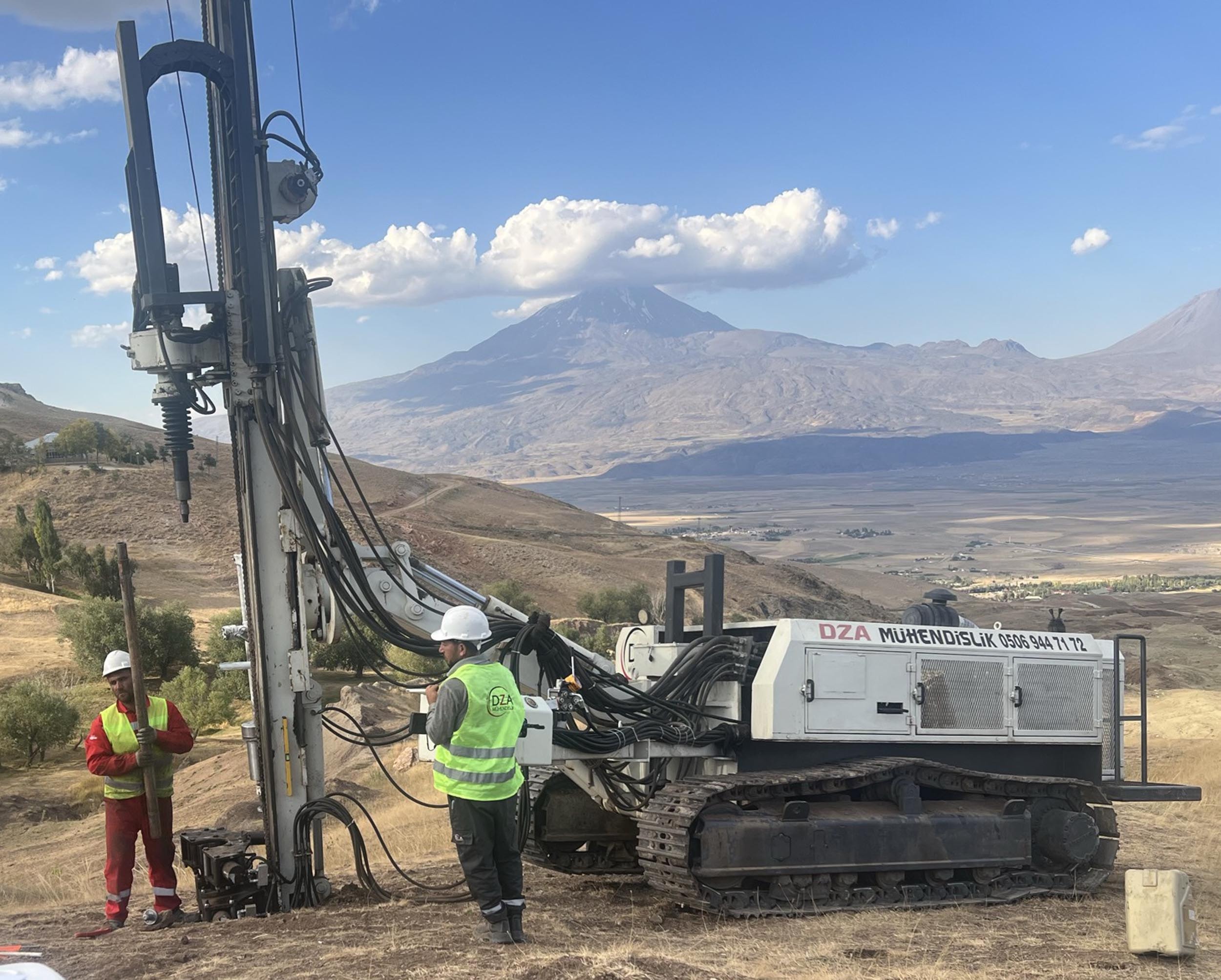
ANOMALIES DETECTED IN RADAR SCANS
Some anomalies were identified under the surface in radar scans conducted in August. Jones said that the preliminary radar results contain "interesting findings," but the final radar report has not yet been prepared. Therefore, it is not yet certain whether the identified points indicate non-natural objects or structures.
Stating that they saw organic and dark-colored soil layers in the samples taken from the depths of the ground, Jones noted that tests will determine whether these are evidence of decayed wood or human activity. The team aims to reach a conclusion by evaluating radar data and sample analyses together.
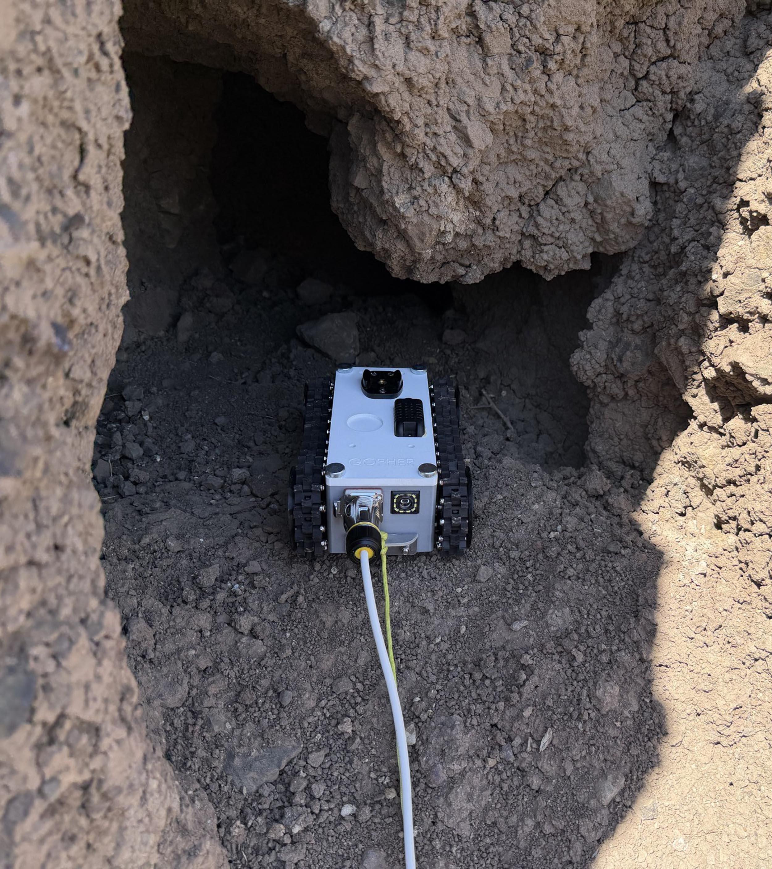
The ship-shaped formation in the region was discovered on September 11, 1959, by Captain İlhan Durupınar, a map engineer who was mapping the Eastern Anatolia Region with an aircraft belonging to the Turkish Armed Forces. Since that date, the area has attracted the attention of domestic and foreign researchers.
Jones stated that with this project, for the first time, a university has gone underground in the area and performed core drilling with government permission. The researchers stated that past studies largely focused on the ship shape on the surface, while the current project aims to examine the data under the surface.
Following the completion of the field studies, eyes have turned to the laboratory process. Jones said that the final report is targeted to be completed in April or May of 2027.
The research team emphasizes that one should be cautious against definitive claims voiced on social media and in some publications. Stating that expressions such as "100 percent confirmed" are not scientific before the work is finished, Jones expressed that the testing process is ongoing.
News Source: 12punto
Most Read
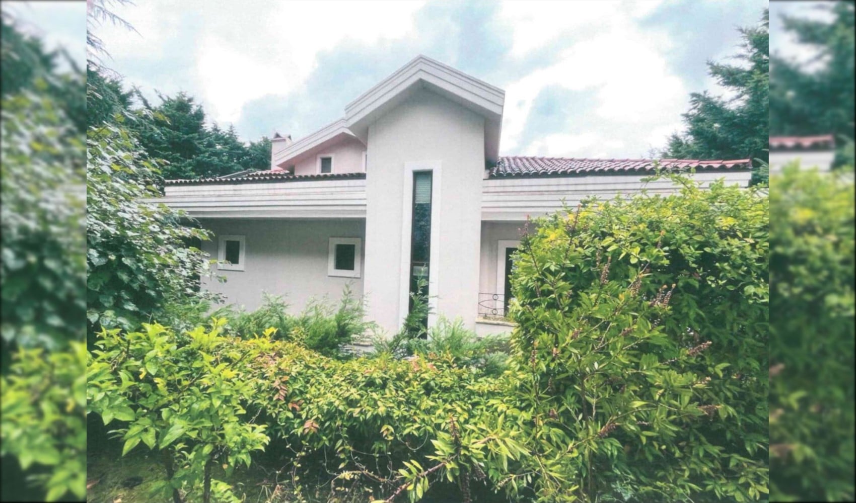
New development in fund investigation: 5 luxury villas seized

Nihat Zeybekci also invested in the fund

18 detained in Antalya prostitution and drug investigation
Salih Tanrıkulu has stepped down from his roles at Borsa İstanbul
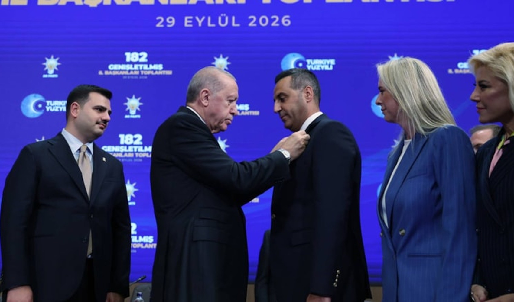
Onur Emrah Yıldız’s AKP post has been closed to comments

Serenay Sarıkaya and Hailey Bieber have a fashion clash in Paris
Chief Public Prosecutor's Office requests VAR center camera footage

The status of the terrorist leader: Whose word will prevail?!

German Chancellor Merz: Russia is not interested in negotiations
Release message from Sinem Dedetaş to Deniz Göktaş