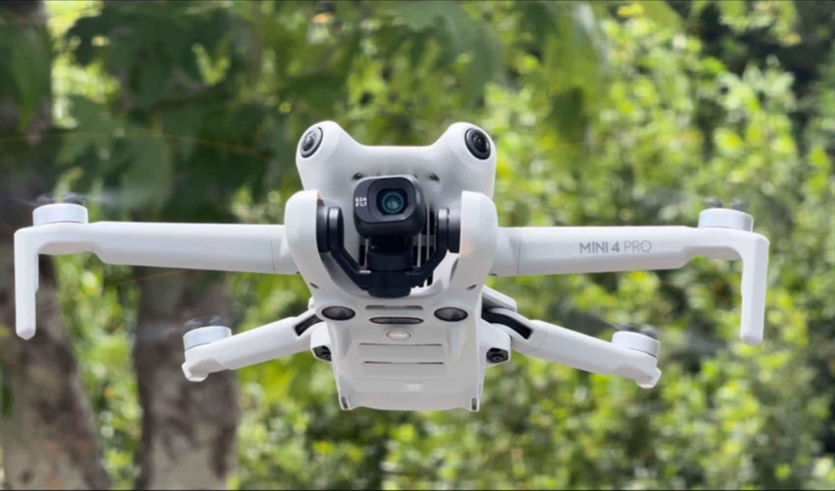
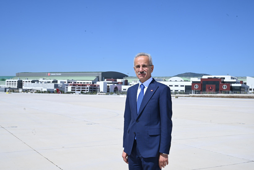
Turkey is preparing a new regulation for long-range, autonomous, and beyond-visual-line-of-sight flights of unmanned aerial vehicles. Minister of Transport and Infrastructure Abdulkadir Uraloğlu announced that digitally defined drone corridors will be created in the sky.
The corridors, which will be implemented within the scope of the Unmanned Aerial Vehicle Systems Instruction (SHT-UAV) published by the Directorate General of Civil Aviation (DGCA) on July 30, 2026, will be determined in coordination with relevant institutions and organizations.
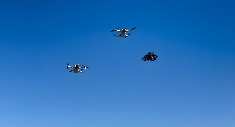
CORRIDORS WILL BE DEFINED IN A DIGITAL ENVIRONMENT
In the new system, the boundaries of the corridors, entry and exit points, flight directions, capacities, and minimum separation distances between aircraft will be defined digitally. Thus, it is aimed for UAVs to move in a safe and controlled manner along designated routes.
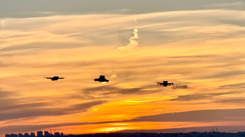
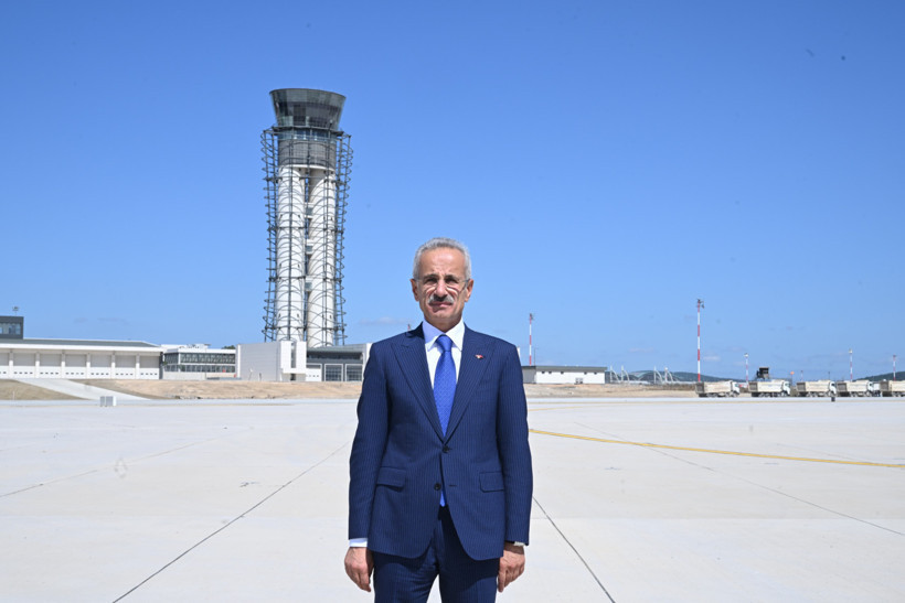
“We will create digitally defined airways in the sky. Thus, unmanned aerial vehicles will be able to fly safely and in a controlled manner along designated routes. We will pave the way for a new transportation opportunity independent of road traffic.”
Information regarding UAV corridors will be published via the DGCA's central digital platform, the Unmanned Aerial Vehicle Tracking and Traffic Management System (İHATTYS). It is envisioned that UAV software will be able to read routes and flight rules directly from this system.
While planning the corridors, prohibited, restricted, and dangerous areas, as well as areas where NOTAMs are issued, will be taken into account. If necessary during operations, flight boundaries can be narrowed, routes can be changed, or UAVs can be forced to land.
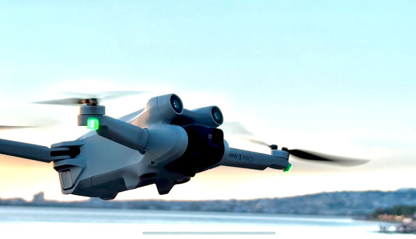
CARGO AND HEALTH TRANSPORTATION STAND OUT
Digital drone corridors are targeted for use particularly in the fields of logistics and health. Intercity cargo transportation, autonomous flights between logistics centers, and the transfer of blood, medicine, vaccines, and medical samples between hospitals are listed among the priority areas of use.
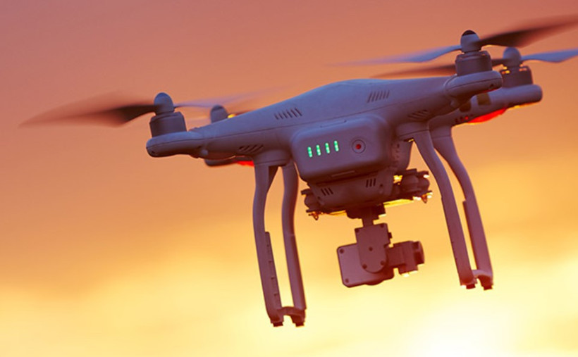
According to the Ministry's plan, it will also be possible to supply islands and settlements where transportation becomes difficult during winter months, transport parts between industrial zones and ports, and inspect energy lines.
Security scenarios will also be defined in the system for extraordinary situations such as loss of connection. Accordingly, UAVs will be directed to pre-determined recovery points without passing over residential areas.
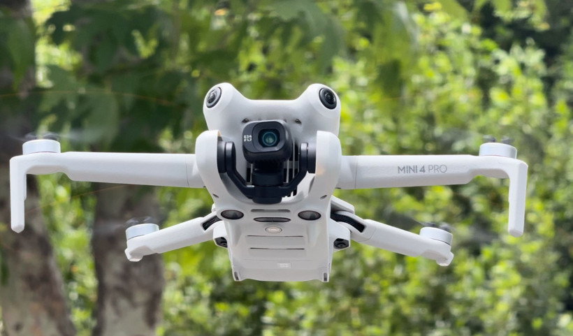
UAV corridors will be closed to hobby flights. According to Uraloğlu's statement, only pilots with a P2 license will be able to fly within authorized businesses after obtaining the necessary operational authorizations from the DGCA.
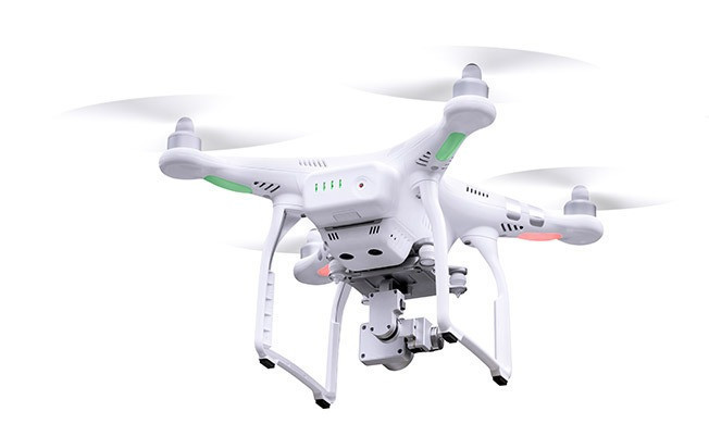
“It will be mandatory for the unmanned aerial vehicles to be used to be registered and to have remote identification, geofencing, and the necessary software certifications. A notification will be made via İHATTYS before every flight.”
The routes of the UAV corridors will be announced to the public via İHATTYS after coordination with relevant institutions in line with needs.
News Source: 12punto