



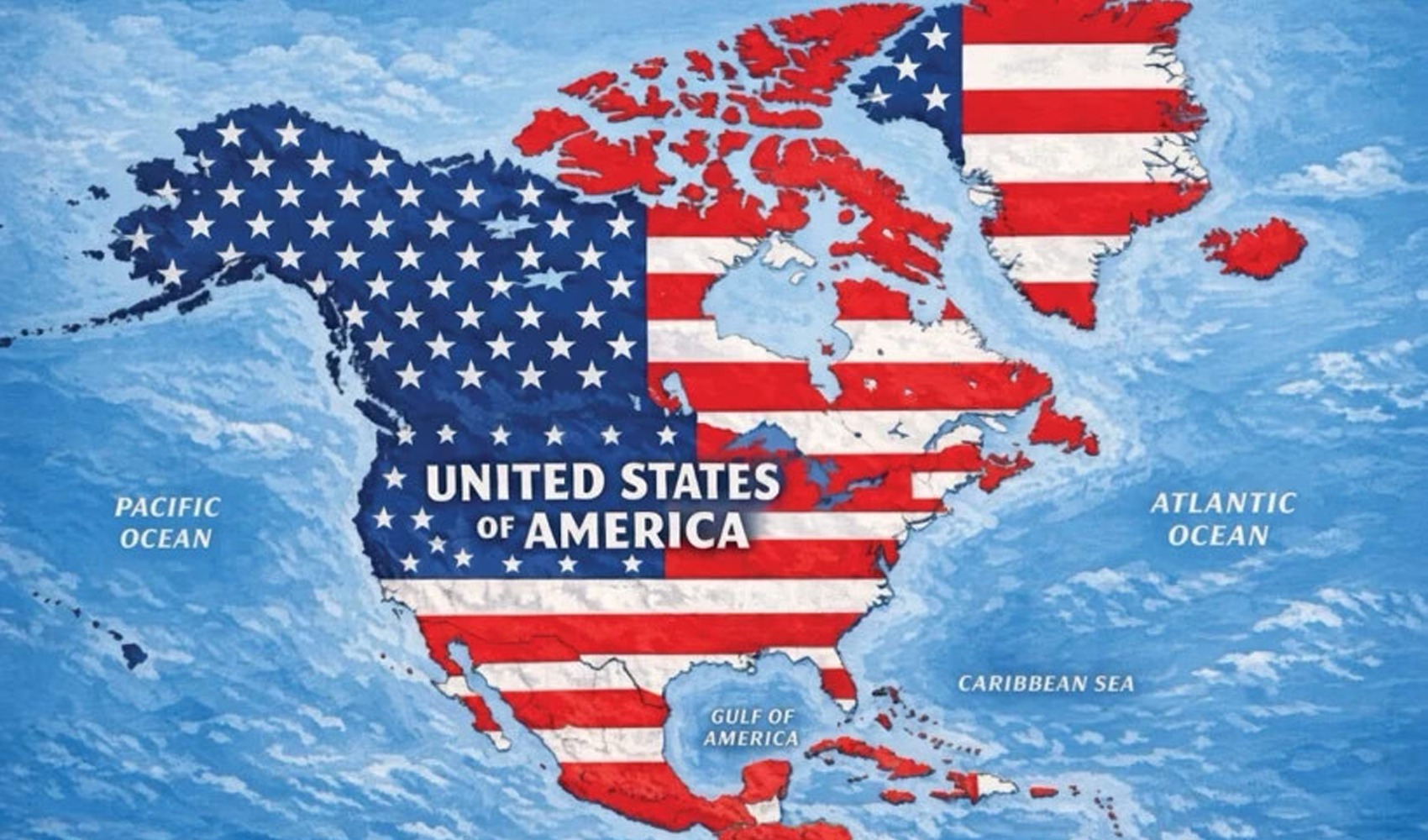
A map shared by US President Donald Trump on his social media account has sparked controversy due to the way it depicts North America and surrounding regions.
In the post, it was observed that in addition to the current borders of the US, Canada, Mexico, Greenland, and Cuba were colored as if they were "US territory." It was noted that a large portion of the North American continent in the image was covered with colors and symbols reminiscent of the US flag.
The post in question follows a previous instance where Trump shared a map of the US state of New Mexico with the word "Mexico" crossed out and replaced with "America."
Mexican President Claudia Sheinbaum reacted to Trump's post in a statement on her X account. Sheinbaum emphasized that Mexico is a "free, independent, and sovereign" country.
Sheinbaum further stated that Mexico is "not under the protection of any foreign country and never will be," rejecting the approach implied by the post.
News Source: 12punto