


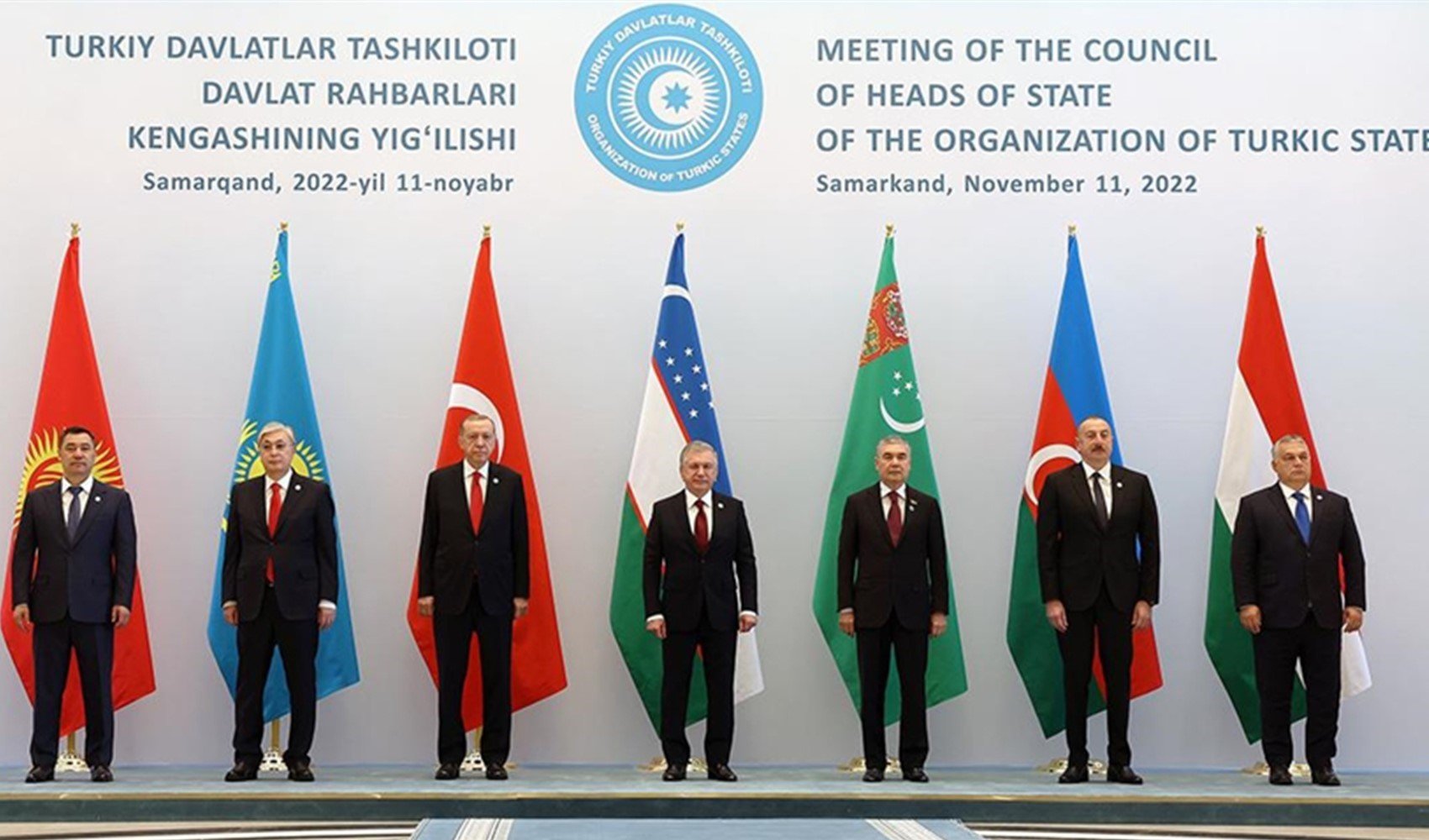
The 1st Meeting of the Organization of Turkic States (OTS) Cartography Institutions Presidency, held by members of the OTS, began in Ankara on September 30 and October 1. Hosted by the General Command of Mapping (HGM), the meeting aims to deepen cooperation between Turkic countries in the field of cartography and lay the foundations for joint mapping efforts. Representatives attending the meeting are expected to discuss the role of maps in regional security and development.
DECLARATION TEXT TO BE SIGNED
Within the scope of the meeting, a declaration text regarding cooperation in the field of cartography will be signed among member countries. This text aims to strengthen the fraternal unity of the Turkic people and deepen comprehensive cooperation among Turkic countries. Furthermore, with the text to be signed, it is planned to develop and implement joint mapping projects.
EMPHASIS ON HISTORY IN OPENING SPEECH
Delivering the opening speech of the meeting, Deputy Minister of National Defense Şuay Alpay stated that maps have held great importance throughout history. Alpay said, "Our ancestors used maps as a strategic tool while establishing powerful states." He also provided examples of the place cartography has held throughout Turkic history.
Alpay expressed that with the establishment of the Cartography Working Group, the transfer of experience regarding map production among member countries will be ensured. In addition to this, the group will set goals such as establishing the necessary standards for the realization of joint projects, increasing data sharing, and researching cooperation opportunities at the international level.
TECHNOLOGICAL DEVELOPMENTS
General Command of Mapping Major General Osman Alp emphasized that the importance of information and technology has increased today. He discussed the impact of technological developments, especially artificial intelligence and machine learning, on maps and geographic information. Alp said, “Cartography institutions must rapidly adopt these technological innovations and integrate them into their processes.”
At the meeting, information was provided regarding the establishment of the Turkic States Cartography Working Group and that regular meetings will be held for future cooperation. The steps to be taken to develop multilateral relations in the field of cartography under the umbrella of the OTS are becoming clear. Additionally, at the end of the meeting, it is planned to organize an exhibition where the projects carried out by the participating countries in the field of cartography will be displayed. With this exhibition, it is aimed to increase information sharing between countries.
News Source: İHA