 1 / 6
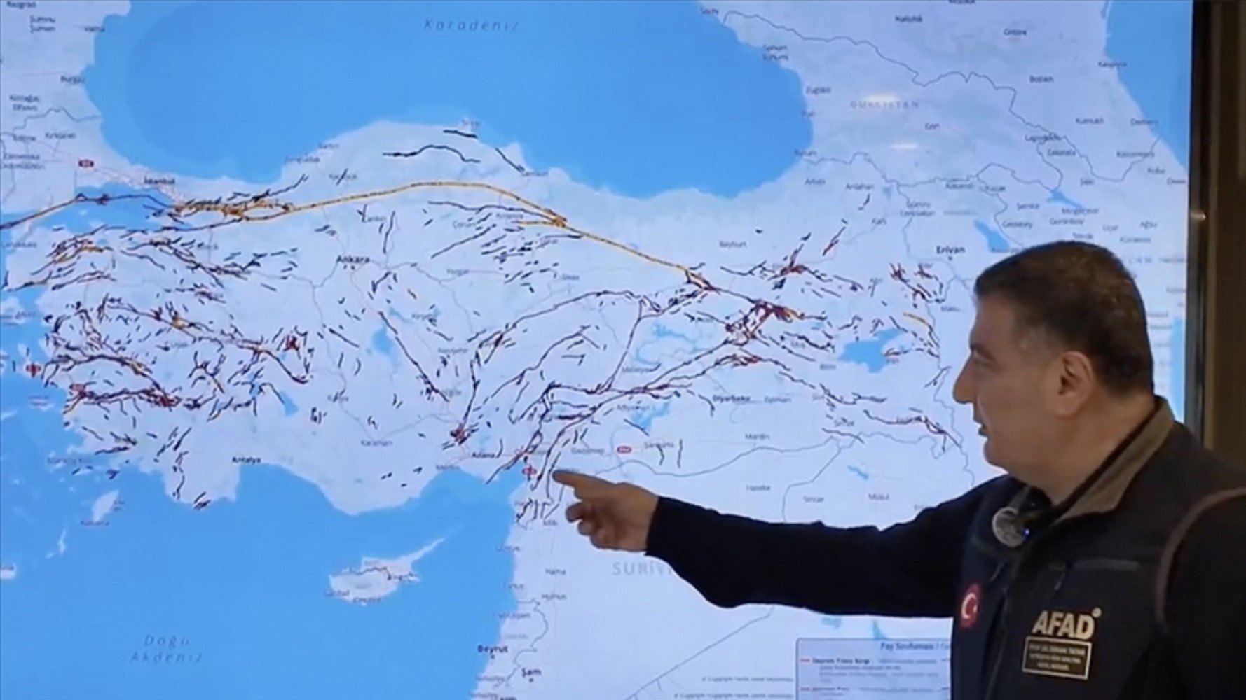
The Disaster and Emergency Management Authority (AFAD) has shared Turkey's updated Earthquake Hazard Map. In line with the new data, it has been determined that there are a total of 485 active fault segments across the country.
 2 / 6
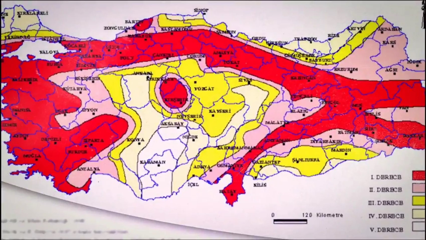
AFAD emphasized that the color tones on the Earthquake Hazard Map represent ground acceleration increasing from low to high, and announced that citizens can access this map via the e-Government system.
 3 / 6
In the official statement, it was noted that the color transitions indicate earthquake hazard levels, specifically highlighting that "the earthquake risk increases as one moves from light yellow to dark red."
 4 / 6
AFAD also shared an informational video about the map on social media. The video included both details about the map and assessments from experts. The statement used the following expressions:
 5 / 6
"The Turkey Earthquake Hazard Map, which came into effect in January 2019, is a map prepared with a multi-stakeholder approach by numerous expert researchers from our universities and public institutions, showing the earthquake hazard of a location in terms of peak ground acceleration."
 6 / 6
In the published video, AFAD General Manager of Earthquake and Risk Reduction Orhan Tatar also provided important information. Tatar used the following expressions regarding the history of the map:
"The Turkey Active Fault Map was last updated by the MTA in 2013. According to this map, there are a total of 485 active fault segments in our country. As data on active faults and the earthquakes they generate increases, such active fault maps are also updated."
🇹🇷🗺️ What is the Turkey Earthquake Hazard Map!?
— AFAD (@AFADBaskanlik) May 6, 2025
🗓️ The Turkey Earthquake Hazard Map, which came into effect in January 2019; is a map prepared with a multi-stakeholder approach by numerous expert researchers from our universities and public institutions, showing the earthquake hazard of a location in terms of peak... pic.twitter.com/nwjlv4Rmqz
News Source : 12punto