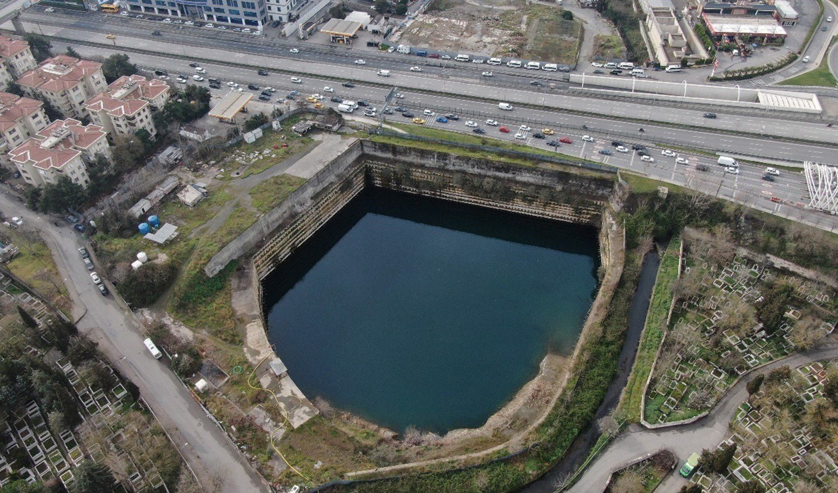
In the Kadıköy district of Istanbul, water that accumulated at a construction site has been marked as a lake in the Google Maps application.
Construction work, which began 5 years ago, stopped after the foundation excavation was completed. However, over time, the foundation pit filled with water and turned into almost a lake.
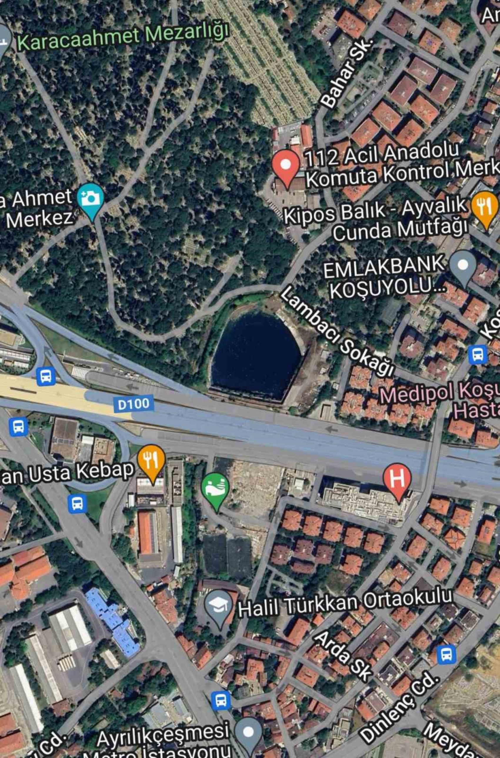
The Google Maps application updated its maps by identifying the water-filled pit as a lake. The resulting lake was captured from the air by a drone.
News Source: İHA