


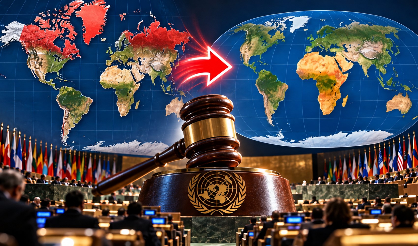
The United Nations General Assembly has supported the “Correct the Map” initiative, which aims to more accurately represent the true surface area proportions of continents on world maps. With this resolution, the use of the “Equal Earth” projection, developed in 2018, will be encouraged.
In the vote, 164 countries supported the resolution, while the US voted against it. Estonia, Georgia, Lithuania, Moldova, Serbia, and Ukraine abstained. The resolution was submitted by Togo on behalf of the African Group.
At the heart of the decision is the perception of area created by the Mercator projection, which has been widely used for centuries. Developed by Gerardus Mercator in 1569, this projection provides significant advantages for maritime and navigation purposes, but it shows regions near the poles as larger than they are when transferring the global surface to a flat plane.
For this reason, landmasses at high latitudes such as Greenland, Canada, and Russia can appear much larger on maps than they actually are. Regions around the equator, meanwhile, can be perceived as smaller in these comparisons.
One of the most striking examples is the difference between Africa and Greenland. Africa has a surface area of approximately 30.4 million square kilometers, while Greenland has a surface area of approximately 2.17 million square kilometers. Accordingly, Africa is about 14 times larger than Greenland.
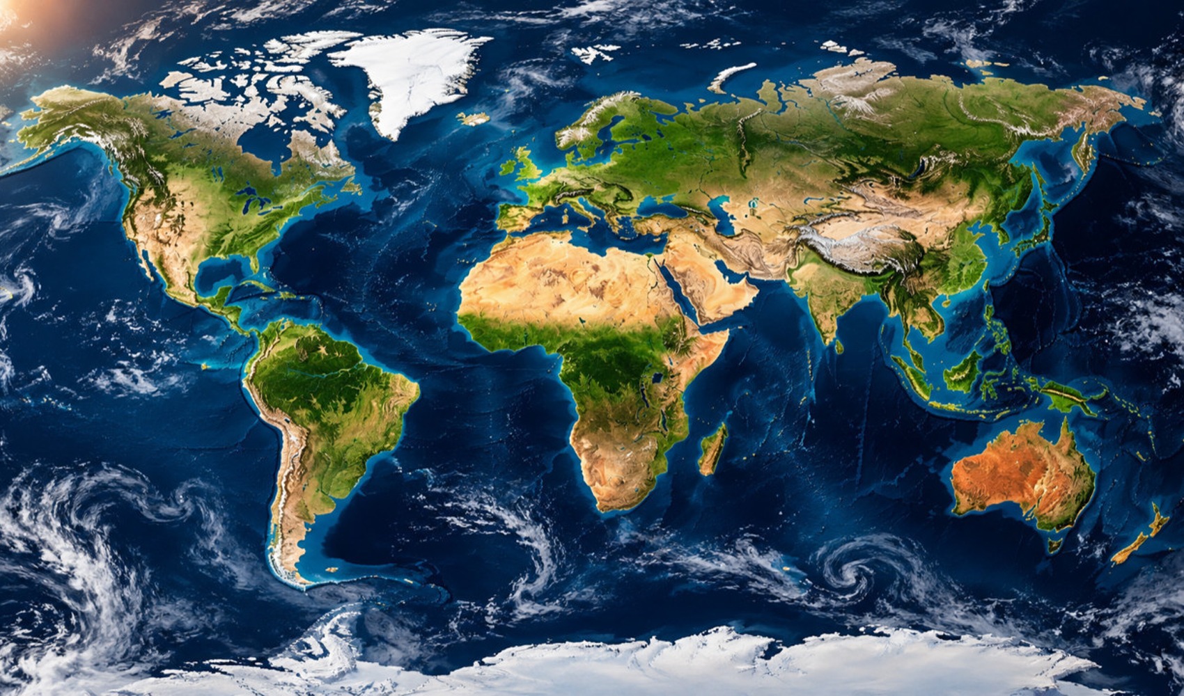
When compared to Canada, which has a surface area of approximately 10 million square kilometers, it is seen that Africa is more than three times larger. While Canada can be perceived as larger than Africa on Mercator maps, the Equal Earth projection aims to preserve these proportions.
THE DECISION IS NOT BINDING
The UN General Assembly's decision is not legally binding. The use of existing maps is not prohibited, and countries are not required to switch to Equal Earth. However, governments, educational institutions, international organizations, media outlets, and technology companies are being called upon to prefer equal-area maps.
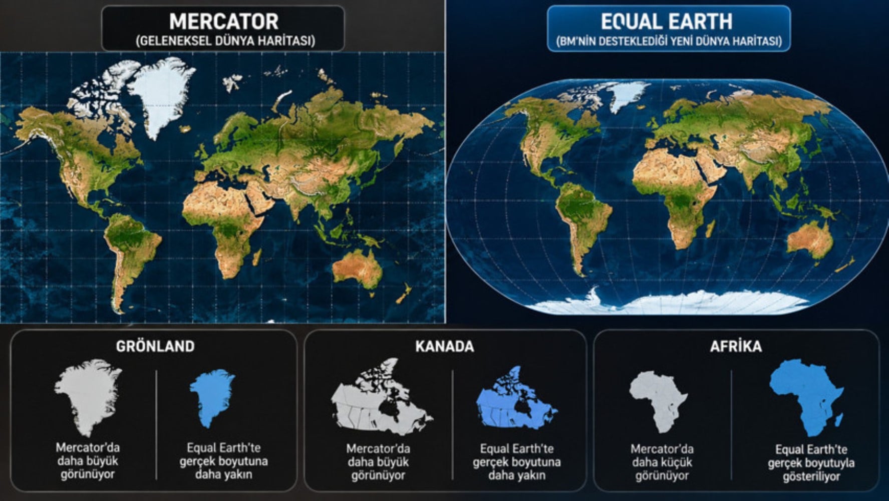
The Equal Earth projection was developed by Bojan Šavric, Tom Patterson, and Bernhard Jenny in 2018. The model aims to preserve surface area proportions while allowing for some visual changes in the shapes of the continents.
The initiative, which is also supported by the African Union, has brought to the agenda assessments that the perception of the world map could change, especially in textbooks, classroom maps, geography educational materials, and news visuals. The Web Mercator infrastructure used in digital services such as Google Maps and Apple Maps is not expected to change in the short term due to technical reasons.
News Source: 12punto